1983 Kopaonik earthquake
 | |
| UTC time | ?? |
|---|---|
| ISC event | |
| USGS-ANSS | |
| Date * | 10 September 1983 |
| Origin time * | 06:14:22 UTC |
| Local date | |
| Local time | |
| Magnitude | 5.1 Mb |
| Depth | 10 km (6 mi) |
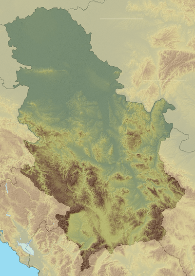
| Epicenter | 43°14′46″N 20°51′32″E / 43.246°N 20.859°ECoordinates: 43°14′46″N 20°51′32″E / 43.246°N 20.859°E[1] |
| Areas affected | Serbia |
| Max. intensity | VIII (Severe) |
| Casualties | None reported |
| * Deprecated | See documentation. |
1983 Kopaonik earthquake occurred on September 10 at 06:14 UTC with a body wave magnitude of 5.3 and a maximum Mercalli intensity of VIII (Severe). The epicenter was in the Kopaonik mountains of Serbia. It affected seven villages, leaving 200 homeless, and 1,200 buildings and dwellings damaged.[2]
Kopaonik was hit 5 times by earthquakes of intensity VII to VIII between 1978 and 1985.[3]
See also
References
- ↑ NGDC. "Comments for the Significant Earthquake". Retrieved 27 August 2010.
- ↑ Associated Press (13 September 1983). "Earthquake in Serbia". The New York Times.
- ↑ Roux, Michel (1992). Les Albanais en Yougoslavie: Minorité nationale, territoire et développement (in French). Les Editions de la MSH. p. 93. ISBN 9782735104543.
Read more
- M.D.Trifunac, S.S.Ivanović, Re-occurrence of site-specific response in former Yugoslavia—part II: Friuli, Banja Luka and Kopaonik, Soil Dynamics and Earthquake Engineering, 2003
This article is issued from
Wikipedia.
The text is licensed under Creative Commons - Attribution - Sharealike.
Additional terms may apply for the media files.