Šatijai
| Šatijai | |
|---|---|
| Village | |
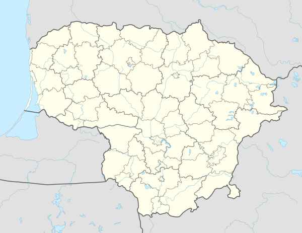 Šatijai Location of Šatijai | |
| Coordinates: 54°59′10″N 23°59′40″E / 54.98611°N 23.99444°ECoordinates: 54°59′10″N 23°59′40″E / 54.98611°N 23.99444°E | |
| Country |
|
| Ethnographic region | Aukštaitija |
| County |
|
| Municipality | Kaunas district municipality |
| Eldership | Lapės eldership |
| Population (2011) | |
| • Total | 415 |
| Time zone | UTC+2 (EET) |
| • Summer (DST) | UTC+3 (EEST) |
Šatijai is a village near Kaunas in Lithuania. It has a red brick estate, built in 1889 by the Christauskai family. In 1966 the estate consisted of a house, large stables, barn, granary, smithy, and garden. Until restoration of Lithuania's independence in 1990, the estate was neglected and fell in ruins. Consequently, the building was restored and turned into a restaurant and guesthouse.[1] According to the 2011 census, the village had 415 residents.[2]
References
- ↑ http://www.satijudvaras.lt
- ↑ "2011 census". Statistikos Departamentas (Lithuania). Retrieved August 21, 2017.
This article is issued from
Wikipedia.
The text is licensed under Creative Commons - Attribution - Sharealike.
Additional terms may apply for the media files.