Zonsverduistering van 26 februari 1979
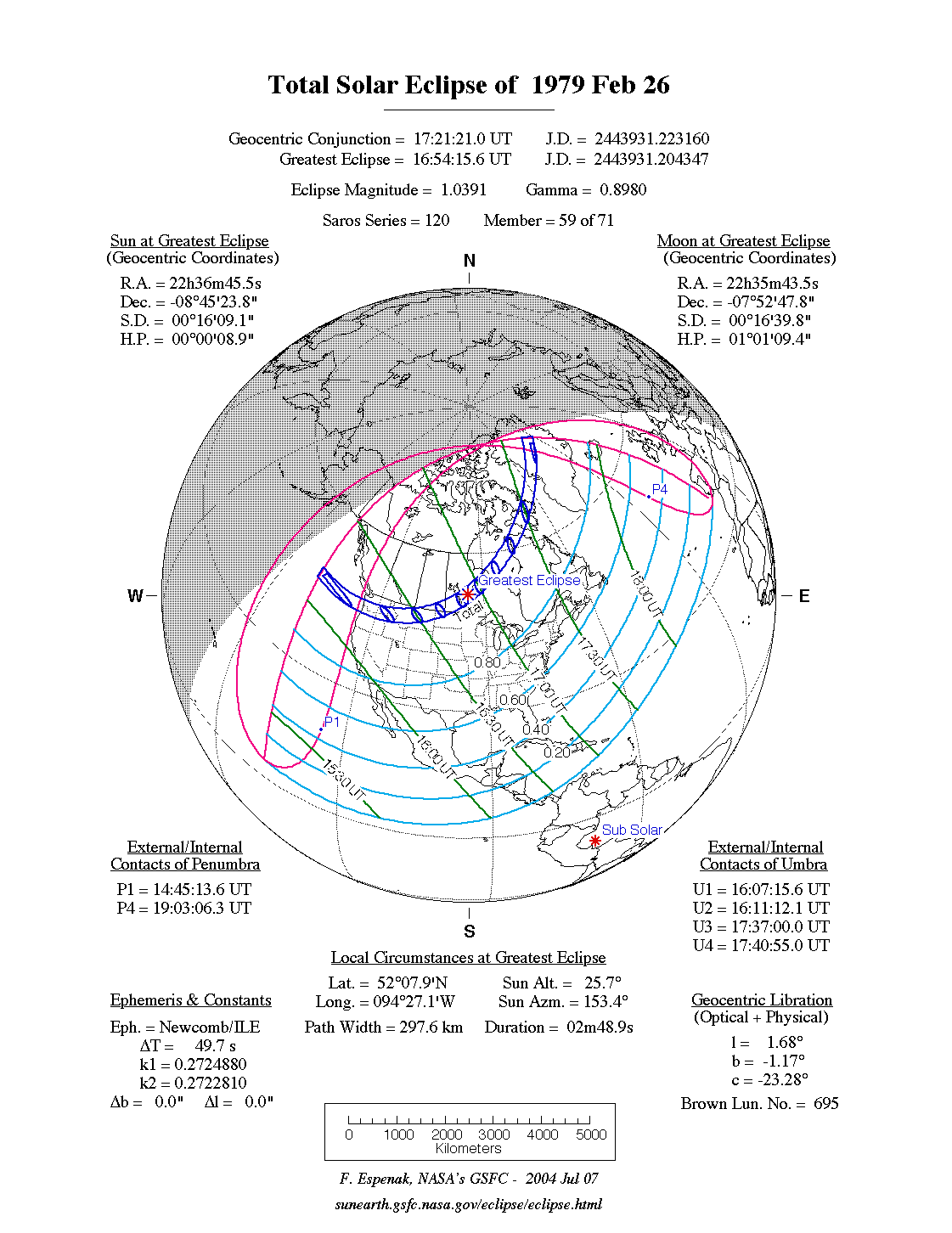
De totale zonsverduistering van 26 februari 1979 trok veel over land en zee en was achtereenvolgens te zien in deze 11 deelgebieden : Oregon, Washington, Idaho, Montana, North Dakota, Saskatchewan, Manitoba, Ontario, Quebec, Nunavut en Groenland.[1][2]
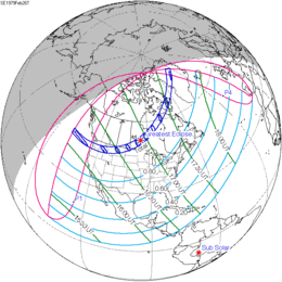
De zonsverduistering was te zien tussen de blauwe lijnen.
Lengte
Maximum
Het punt met maximale totaliteit lag in Canada tussen de plaatsen Pauingassi en Pikangikum en duurde 2m48,9s.
Limieten
| Fenomeen | Code | Tijdstip UTC |
|---|---|---|
| Eerste contact bijschaduw | P1 | 14:45:13.6 |
| Eerste contact kernschaduw | U1 | 16:07:15.6 |
| Kernschaduw compleet vanaf | U2 | 16:11:12.1 |
| Bijschaduw compleet vanaf | P2 | Niet |
| Maximum eclips | GE | 16:54:15.6 |
| Bijschaduw compleet t/m | P3 | Niet |
| Kernschaduw compleet t/m | U3 | 17:37:00.0 |
| Laatste contact kernschaduw | U4 | 17:40:55.0 |
| Laatste contact bijschaduw | P4 | 19:03:06.3 |
Zie ook
Externe links
- NASA Google map van deze verduistering
- NASA overzicht van alle verduisteringen
Bronnen, noten en/of referenties
|
This article is issued from
Wikipedia.
The text is licensed under Creative
Commons - Attribution - Sharealike.
Additional terms may apply for the media files.