Wootton (Northamptonshire)
Wootton is een civil parish in het bestuurlijke gebied Northampton, in het Engelse graafschap Northamptonshire met 17.867 inwoners.
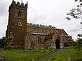 Kerk in Wootton
| Bronnen, noten en/of referenties
|
Geplaatst op: 15-8-2010 |
Dit artikel is een beginnetje over landen & volken. U wordt uitgenodigd om op bewerken te klikken om uw kennis aan dit artikel toe te voegen. |
| Civil parish in Engeland | |||
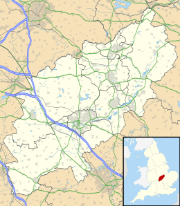 | |||
| Situering | |||
| Regio | East Midlands | ||
| Graafschap | Northamptonshire | ||
| District | Northampton | ||
| Coördinaten | 52° 12' NB, 0° 53' WL | ||
| Algemeen | |||
| Oppervlakte | 5,3510 km² | ||
| Inwoners (2011) | 17867 (3339 inw./km²) | ||
| Overig | |||
| Postcode(s) | NN4 | ||
| Netnummer(s) | 01604 | ||
| Grid code | SP762564 | ||
| Post town | NORTHAMPTON | ||
| ONS-code | E04006797 | ||
| Foto's | |||
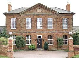 | |||
| Vroeger Wootton Barracks, nu Regency Place | |||
| |||
This article is issued from
Wikipedia.
The text is licensed under Creative
Commons - Attribution - Sharealike.
Additional terms may apply for the media files.