Stapenhill
Stapenhill is een civil parish in het bestuurlijke gebied East Staffordshire, in het Engelse graafschap Staffordshire.
Geplaatst op: 5-8-2010 |
Dit artikel is een beginnetje over landen & volken. U wordt uitgenodigd om op bewerken te klikken om uw kennis aan dit artikel toe te voegen. |
| Civil parish in Engeland | |||
 | |||
| Situering | |||
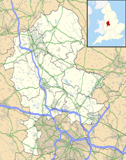
| Regio | West Midlands | ||
| Graafschap | Staffordshire | ||
| District | East Staffordshire | ||
| Coördinaten | 52° 48' NB, 1° 38' WL | ||
| Algemeen | |||
| Oppervlakte | 1,8337 km² | ||
| Inwoners (2011) | 7977 (4350 inw./km²) | ||
| Overig | |||
| Postcode(s) | DE15 | ||
| Netnummer(s) | 01283 | ||
| Grid code | SK254215 | ||
| Post town | BURTON-ON-TRENT | ||
| ONS-code | E04008913 | ||
| |||
This article is issued from
Wikipedia.
The text is licensed under Creative
Commons - Attribution - Sharealike.
Additional terms may apply for the media files.