Langtoft (East Riding of Yorkshire)
Langtoft is een civil parish in het bestuurlijke gebied East Riding of Yorkshire, in het Engelse graafschap East Riding of Yorkshire met 492 inwoners.
Geplaatst op: 2-8-2010 |
Dit artikel is een beginnetje over landen & volken. U wordt uitgenodigd om op bewerken te klikken om uw kennis aan dit artikel toe te voegen. |
| Civil parish in Engeland | |||
 | |||
| Situering | |||
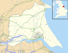
| Regio | Yorkshire and the Humber | ||
| Graafschap | East Riding of Yorkshire | ||
| District | East Riding of Yorkshire | ||
| Coördinaten | 54° 5' NB, 0° 27' WL | ||
| Algemeen | |||
| Oppervlakte | 14,4810 km² | ||
| Inwoners (2011) | 492 (34 inw./km²) | ||
| Overig | |||
| Postcode(s) | YO25 3xx | ||
| Netnummer(s) | 01377 | ||
| Grid code | TA010667 | ||
| Post town | DRIFFIELD | ||
| ONS-code | E04000427 | ||
| Foto's | |||
Apr2006.jpg) | |||
| Primary School | |||
| |||
This article is issued from
Wikipedia.
The text is licensed under Creative
Commons - Attribution - Sharealike.
Additional terms may apply for the media files.