Anatoliki Mani
Anatoliki Mani (Grieks: Ανατολική Μάνη) is sedert 2011 een fusiegemeente (dimos) in de Griekse bestuurlijke regio (periferia) Peloponnesos.
| Gemeente in Griekenland | |||
 | |||
Situering | |||
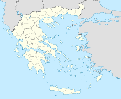
| Periferie | Peloponnesos | ||
| Coördinaten | 36° 45′ NB, 22° 28′ OL | ||
Algemeen | |||
| Oppervlakte | 619,277 km² | ||
| Inwoners (2011[1]) | 12.900 (21 inw./km²) | ||
| Hoogte | 0 tot 1200 m | ||
Politiek | |||
| Burgemeester | Petros ANDREAKOS (sinds 2011) | ||
Overig | |||
| Postcode(s) | 230 62, 230 71, 232 00 | ||
| Netnummer(s) | 27330 | ||
| Kenteken | AK | ||
| Detailkaart | |||
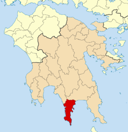 | |||
| Gemeentegrenzen 2011 | |||
| |||
De vier deelgemeenten (dimotiki enotita) van de fusiegemeente zijn:[2]
- Anatoliki Mani (Ανατολική Μάνη)
- Gytheio (Γύθειο)
- Oitylo (Οίτυλο)
- Smynos (Σμύνος)
| Bronnen, noten en/of referenties |
This article is issued from
Wikipedia.
The text is licensed under Creative
Commons - Attribution - Sharealike.
Additional terms may apply for the media files.