Zaghouan Governorate
Zaghouan Governorate (Arabic: ولاية زغوان Wilāyat Zaghwān pronounced [zɑʁˈwæːn]) is one of the twenty-four governorates (provinces) of Tunisia and is in north-eastern Tunisia. It covers an area of 2,768 km² and its population was 176,945 at the 2014 census.[1] The capital is Zaghouan.
Zaghouan ولاية زغوان | |
|---|---|
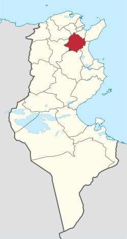 Map of Tunisia with Zaghouan highlighted | |
| Coordinates: 36°24′N 10°09′E | |
| Country | Tunisia |
| Created | November 1, 1976 |
| Capital | Zaghouan |
| Area | |
| • Total | 2,768 km2 (1,069 sq mi) |
| Area rank | Ranked 18th of 24 |
| Population (2014) | |
| • Total | 176,945 |
| • Rank | Ranked 21st of 24 |
| • Density | 64/km2 (170/sq mi) |
| Time zone | UTC+01 (CET) |
| Postal prefix | xx |
| ISO 3166 code | TN-22 |
Geography
The area is almost circular and above the low coastal plains, it has a summit of 1295 m close to its central capital on the west side of the founding city. The summit sits on one of two north-east to south-west escarpments forming part of the dorsal Atlas Mountains commencing here close to the east coast and Tunisia's capital city, Tunis. The Oued Mellane drains the west and north of the province, having risen in the province to the south-west Siliana and then discharging into the Gulf of Tunis in the southern contiguous districts to the capital city, in particular flowing through Ben Arous the governorate of which takes in land immediately due south of the city centre. As such Zaghouan has no coastline however its climate remains warm Mediterranean, with significant winter and early spring rainfall. The main road from Tunis to the city inland of Sousse, Kairouan, passes through the city of El Fahs in the west of the province. A railway passes through the same city leading to the mid-west of the country, which is in turn connected back to the east coast.
Administrative divisions
Six municipalities are in Zaghouan Governorate:
| Code | Municipality | Population (2014)[2] |
|---|---|---|
| 1611 | Zaghouan | 20,798 |
| 1612 | Zriba | 11,819 |
| 1613 | Bir Mcherga | 8,329 |
| 1614 | Djebel Oust | 5,325 |
| 1615 | El Fahs | 23,556 |
| 1616 | Nadhour | 7,567 |
References
- (in French) Census 2014 (National Institute of Statistics)
- Recensement Général de la Population et de l'Habitat 2014 – Population, logements et ménages par commune et arrondissement [Census 2014 results – population, accommodation and households per municipality and delegation] (Report) (in French). National Institute of Statistics. 1 April 2015. Retrieved 18 February 2016.
Governorates and regions of Tunisia | ||
|---|---|---|
| Governorates | ||
| Regions | ||
WikiProject Tunisia | ||