Wang Chao District
Wang Chao (Thai: วังเจ้า, pronounced [wāŋ t͡ɕâːw]) is a district (amphoe) of Tak Province, western Thailand.
Wang Chao วังเจ้า | |
|---|---|
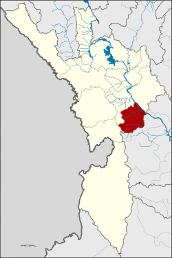 District location in Tak Province | |
| Coordinates: 16°42′15″N 99°14′34″E | |
| Country | Thailand |
| Province | Tak |
| Seat | Chiang Thong |
| Area | |
| • Total | 328.9 km2 (127.0 sq mi) |
| Population (2005) | |
| • Total | 29,726 |
| • Density | 90.4/km2 (234/sq mi) |
| Time zone | UTC+7 (ICT) |
| Postal code | 63180 |
| Geocode | 6309 |
History
The minor district (king amphoe) Wang Chao was created by splitting off some parts of Mueang Tak District. It was announced on 26 June 1996 and became effective on 15 July.[1]
On 15 May 2007, all 81 minor districts were upgraded to full districts.[2] With publication in the Royal Gazette on 24 August the upgrade became official.[3]
Geography
Neighboring districts are (west from clockwise): Phop Phra, Mueang Tak of Tak Province, Kosamphi Nakhon, Mueang Kamphaeng Phet, Phran Kratai of Kamphaeng Phet Province.
The important water resources of the district are the Ping River and Khlong Wang Chao. Part of the Khlong Wang Chao National Park is in the southern part of the district.
Symbols
The district slogan is "Gateway to Tak, many different cultures, main economy is corn and longan, many beautiful waterfalls, Khlong Wang Chao national park, beautiful weaving".
Administration
The district is divided into three sub-districts (tambons), which are further subdivided into 28 villages (mubans). The township (thesaban tambon) Wang Chao covers parts of tambon Chiang Thong. There are a further three tambon administrative organizations (TAO).
| No. | Name | Thai name | Villages | Pop. | |
|---|---|---|---|---|---|
| 1. | Chiang Thong | เชียงทอง | 14 | 16,762 | |
| 2. | Na Bot | นาโบสถ์ | 9 | 9,167 | |
| 3. | Pradang | ประดาง | 5 | 3,797 |
References
- ประกาศกระทรวงมหาดไทย เรื่อง แบ่งเขตท้องที่อำเภอเมืองตาก จังหวัดตาก ตั้งเป็นกิ่งอำเภอวังเจ้า (PDF). Royal Gazette (in Thai). 113 (Special 18 ง): 27. June 26, 1996.
- แถลงผลการประชุม ครม. ประจำวันที่ 15 พ.ค. 2550 (in Thai). Manager Online.
- พระราชกฤษฎีกาตั้งอำเภอฆ้องชัย...และอำเภอเหล่าเสือโก้ก พ.ศ. ๒๕๕๐ (PDF). Royal Gazette (in Thai). 124 (46 ก): 14–21. August 24, 2007.