Wahagnies
Wahagnies is a commune in the Nord department in northern France.
Wahagnies | |
|---|---|
The road into Wahagnies | |
.svg.png) Coat of arms | |
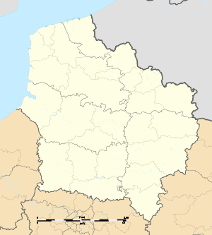
Location of Wahagnies 
| |
 Wahagnies  Wahagnies | |
| Coordinates: 50°29′11″N 3°02′12″E | |
| Country | France |
| Region | Hauts-de-France |
| Department | Nord |
| Arrondissement | Lille |
| Canton | Annœullin |
| Intercommunality | Pévèle Carembault |
| Government | |
| • Mayor (2015-2020) | Alain Bos |
| Area 1 | 5.69 km2 (2.20 sq mi) |
| Population (2017-01-01)[1] | 2,598 |
| • Density | 460/km2 (1,200/sq mi) |
| Time zone | UTC+01:00 (CET) |
| • Summer (DST) | UTC+02:00 (CEST) |
| INSEE/Postal code | 59630 /59261 |
| Elevation | 27–66 m (89–217 ft) (avg. 33 m or 108 ft) |
| 1 French Land Register data, which excludes lakes, ponds, glaciers > 1 km2 (0.386 sq mi or 247 acres) and river estuaries. | |
Geography
The commune is situated between Flandre and Artois and has a distance of 20 km to Lille and 35 km to Arras. It covers an area of approximately 569 ha (5.7 km²).[2]
Population
| Historical population | ||
|---|---|---|
| Year | Pop. | ±% |
| 2006 | 2,606 | — |
| 2007 | 2,599 | −0.3% |
| 2008 | 2,591 | −0.3% |
| 2009 | 2,590 | −0.0% |
| 2010 | 2,588 | −0.1% |
| 2011 | 2,585 | −0.1% |
| 2012 | 2,616 | +1.2% |
| 2013 | 2,618 | +0.1% |
| 2014 | 2,616 | −0.1% |
| 2015 | 2,611 | −0.2% |
| 2016 | 2,606 | −0.2% |
Heraldry
.svg.png) Arms of Wahagnies |
The arms of Wahagnies are blazoned : Azure, a chevron argent between 2 anchors and a cow passant Or, a chief per pale 1 Gules, a mitre Or, and 2 paly Or and gules. |
Twin towns
Wahagnies is twinned with Böhl-Iggelheim (Rhineland-Palatinate, Germany)
See also
References
- "Populations légales 2017". INSEE. Retrieved 6 January 2020.
- "Wahagnies, 59261 | Frankreich-Experte". www.frankreich-experte.de (in German). Retrieved 2017-11-22.
| Wikimedia Commons has media related to Wahagnies. |
This article is issued from Wikipedia. The text is licensed under Creative Commons - Attribution - Sharealike. Additional terms may apply for the media files.