Torboy, Washington
Torboy is a census-designated place in Ferry County, Washington, United States.
Torboy, Washington | |
|---|---|
 Torboy  Torboy | |
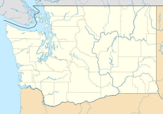
| Coordinates: 48°40′48″N 118°39′47″W | |
| Country | United States |
| State | Washington |
| County | Pierce |
| Area | |
| • Total | 0.95 sq mi (2.47 km2) |
| • Land | 0.93 sq mi (2.40 km2) |
| • Water | 0.03 sq mi (0.07 km2) |
| Elevation | 2,425 ft (739 m) |
| Population (2010) | |
| • Total | 49 |
| • Density | 53/sq mi (20.4/km2) |
| Time zone | Pacific |
| Area code(s) | 360 |
Demographics
In 2010, it had a population of 49.[1] 28 of the inhabitants were male, and 21 were female.[2]
Geography
Torboy is located in northwestern Ferry County at coordinates 48°40′48″N 118°39′47″W, along Washington State Route 21. It is 5 miles (8 km) northeast of Republic, the county seat, and 16 miles (26 km) south of Curlew. It is bordered to the north by the Curlew Lake CDP.
According to the U.S. Census Bureau, the Torboy CDP has a total area of 0.97 square miles (2.5 km2), of which 0.03 square miles (0.07 km2), or 2.90%, is water.[1] The Sanpoil River flows through the community.
References
- "Geographic Identifiers: 2010 Demographic Profile Data (G001): Torboy CDP, Washington". U.S. Census Bureau, American Factfinder. Retrieved October 24, 2016.
- "Torboy, Washington". Retrieved 19 August 2014.
Municipalities and communities of Ferry County, Washington, United States | ||
|---|---|---|
| City | 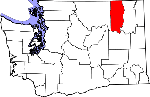 Map of Washington highlighting Ferry County | |
| CDPs | ||
| Other unincorporated communities | ||
| Indian reservation | ||
| Ghost town | ||
| Footnotes | ‡This populated place also has portions in an adjacent county or counties | |
This article is issued from Wikipedia. The text is licensed under Creative Commons - Attribution - Sharealike. Additional terms may apply for the media files.