Thuraakunu (Haa Alif Atoll)
Thuraakunu (Dhivehi: ތުރާކުނު) is the northern-most island in Maldives, one of the fourteen inhabited islands of Haa Alif Atoll and is geographically part of the Ihavandhippolhu Atoll in the Maldives. It is an island-level administrative constituency governed by the Thuraakunu Island Council.
Thuraakunu ތުރާކުނު | |
|---|---|
island | |
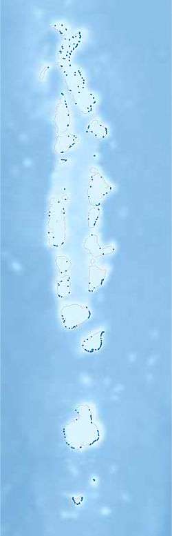 Thuraakunu Location in Maldives | |
| Coordinates: 7°6′18″N 72°54′07″E | |
| Country | Maldives |
| Geographic atoll | Ihavandhippolhu Atoll |
| Administrative atoll | Haa Alif Atoll |
| Distance to Malé | 330.89 km (205.61 mi) |
| Government | |
| • Council | Thuraakunu Island Council |
| Dimensions | |
| • Length | 0.9 km (0.6 mi) |
| • Width | 0.38 km (0.24 mi) |
| Population (2014)[1] | |
| • Total | 421 (including foreigners) |
| Time zone | UTC+05:00 (MST) |
| Area code(s) | 650, 20 |
%26groups%3D_390d5b291e2fdb646551d2b03f1e4742a087b561.svg)
| |
| Location | Thuraakunu Haa Alif Atoll Maldives |
|---|---|
| Coordinates | 7°06′19.4″N 72°53′42.7″E |
| Foundation | concrete base |
| Construction | metal skeletal tower |
| Tower shape | square pyramidal skeletal tower |
| Focal height | 15 metres (49 ft) |
| Light source | solar power |
| Range | 10 nautical miles (19 km; 12 mi)[2] |
| Characteristic | Fl W 5s. |
| Admiralty number | F0762.9 |
| NGA number | 27394[3][2] |
History
Thuraakunu is the closest island to Minicoy. Formerly there was direct trade between both, and fishermen from both islands used to visit each other. This exchange continued even after Minicoy became part of the Indian Union after independence. However, after 1956 the Indian government forbade these visits. Now, despite the geographical proximity and ethnographic similarities, people from both islands are not allowed to meet each other.
Demography
| Historical population | ||
|---|---|---|
| Year | Pop. | ±% |
| 2006 | 347 | — |
| 2014 | 393 | +13.3% |
| 2006-2014: Census populations Source: [5] | ||
See also
References
- "Table PP5: Resident Population by sex, nationality and locality (administrative islands), 2014" (PDF). Population and Households Census 2014. National Bureau of Statistics. p. 33. Retrieved 9 August 2018.
- List of Lights, Pub. 112: Western Pacific and Indian Oceans Including the Persian Gulf and Red Sea (PDF). List of Lights. United States National Geospatial-Intelligence Agency. 2015.
- Maldives The Lighthouse Directory. University of North Carolina at Chapel Hill. Retrieved 10 October 2016
- "Coordinate Distance Calculator". Boulter.com. Retrieved 9 August 2018.
- "Table 3.3: Total Maldivian Population by Islands" (PDF). National Bureau of Statistics. Retrieved 9 August 2018.
- Bell, H.C.P.: The Maldive Islands, An account of the physical features, History, Inhabitants, Productions and Trade. Colombo 1883.
- Xavier Romero-Frias, The Maldive Islanders, A Study of the Popular Culture of an Ancient Ocean Kingdom. Barcelona 1999, ISBN 84-7254-801-5
This article is issued from Wikipedia. The text is licensed under Creative Commons - Attribution - Sharealike. Additional terms may apply for the media files.