Raimmandhoo (Meemu Atoll)
Raimmandhoo (Dhivehi: ރަތްމަންދޫ) or Raiymandhoo is one of the inhabited islands of Meemu Atoll.
Raimmandhoo | |
|---|---|
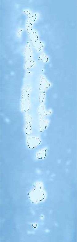 Raimmandhoo Location in Maldives | |
| Coordinates: 03°05′20″N 73°38′20″E | |
| Country | Maldives |
| Administrative atoll | Meemu Atoll |
| Distance to Malé | 121 km (75 mi) |
| Dimensions | |
| • Length | 0.850 km (0.528 mi) |
| • Width | 0.550 km (0.342 mi) |
| Population (2014)[1] | |
| • Total | 112 (including foreigners) |
| Time zone | UTC+05:00 (MST) |
%26groups%3D_b57c128889d8b44201d5bfdb16b41fb0ec46fccf.svg)
| |
| Location | Raimmandhoo Meemu Atoll Maldives |
|---|---|
| Coordinates | 3°05′25.4″N 73°38′29.6″E |
| Foundation | concrete base |
| Construction | metal skeletal tower |
| Tower shape | square pyramidal skeletal tower |
| Markings / pattern | grey tower with rectangular black daymark |
| Tower height | 13 metres (43 ft) |
| Focal height | 15 metres (49 ft) |
| Light source | solar power |
| Range | 10 nautical miles (19 km; 12 mi) |
| Characteristic | Fl W 10s. |
| Admiralty number | F0766.6 |
| NGA number | 27436[2][3] |
Geography
The island is 121 km (75 mi; 65 nmi) south of the country's capital, Malé.[4] The land area of the island is 28.1 ha (69 acres) in 2018.[5] The island was described as having an area of 21.6 ha (53 acres) in 2004 and 2007.[6][7]
Ecology
Parrotfishes, snappers, surgeonfishes and wrasses are common in the waters around the island.[8]
Demography
| Historical population | ||
|---|---|---|
| Year | Pop. | ±% |
| 2006 | 156 | — |
| 2014 | 112 | −28.2% |
| 2006-2014: Census populations Source: [9] | ||
Utilities
The power supply on Raiymandhoo is provided by a combination of solar, wind and diesel power.[10]
Healthcare
Raiymandhoo has a pharmacy.[11]
See also
References
- "Table PP5: Resident Population by sex, nationality and locality (administrative islands), 2014" (PDF). Population and Households Census 2014. National Bureau of Statistics. p. 35. Retrieved 7 August 2018.
- Maldives The Lighthouse Directory. University of North Carolina at Chapel Hill. Retrieved 10 October 2016
- NGA List of Lights – Pub.112 Retrieved 10 October 2016
- "Coordinate Distance Calculator". Boulter.com. Retrieved 7 August 2018.
- "Table 1.5 : Population, land area, population density and distance to Male' and atoll capitals, by locality" (PDF). National Bureau of Statistics. Retrieved 14 August 2018.
- "Raimmandhoo". Ministry of Atolls Development. Archived from the original on 30 September 2007.
- "Table 1.5: Area and distance to Male' and atoll capitals, by locality". National Bureau of Statistics. Retrieved 16 August 2018.
- "EIA for the Jetty Development Project at M.Raiymandhoo". Environmental Protection Agency. August 2017. p. 35. Retrieved 16 August 2018.
- "Table 3.3: Total Maldivian Population by Islands" (PDF). National Bureau of Statistics. Retrieved 7 August 2018.
- "Renewable Energy Status in the Maldives" (PDF). Global Islands. Retrieved 16 August 2018.
- "Panel of Medical Centers" (PDF). Allied Insurance Company. Retrieved 16 August 2018.
This article is issued from Wikipedia. The text is licensed under Creative Commons - Attribution - Sharealike. Additional terms may apply for the media files.