Filladhoo (Haa Alif Atoll)
Filladhoo (Dhivehi: ފިއްލަދޫ) is one of the inhabited islands of Haa Alif Atoll and geographically part of Thiladhummathi Atoll in the north of the Maldives. It is an island-level administrative constituency governed by the Filladhoo Island Council.
Filladhoo ފިއްލަދޫ | |
|---|---|
island | |
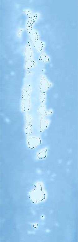 Filladhoo Location in Maldives | |
| Coordinates: 6°52′38″N 73°13′39″E | |
| Country | Maldives |
| Geographic atoll | Thiladhunmathi Atoll |
| Administrative atoll | Haa Alif Atoll |
| Distance to Malé | 300.42 km (186.67 mi) |
| Government | |
| • Council | Filladhoo Island Council |
| Area | |
| • Total | 2.49 km2 (0.96 sq mi) |
| Dimensions | |
| • Length | 5.85 km (3.64 mi) |
| • Width | 1.45 km (0.90 mi) |
| Population (2014)[1] | |
| • Total | 584 (including foreigners) |
| Time zone | UTC+05:00 (MST) |
| Area code(s) | 650, 20 |
Geography
The island is 300.42 km (187 mi; 162 nmi) north of the country's capital, Malé.[2] This island lies on a large reef and it has a large sandy projection that stretches northwards to Dhapparu, formerly a separate island.
Demography
| Historical population | ||
|---|---|---|
| Year | Pop. | ±% |
| 2006 | 548 | — |
| 2014 | 562 | +2.6% |
| 2006-2014: Census populations Source: [3] | ||
Services
Education
Madhrasathul Sobaah is the Government school in Filladhoo, providing primary and secondary education for the island. Established in 1998, it now has around 130 students.
Health
The island has a health center providing basic health facilities.
References
- "Table PP5: Resident Population by sex, nationality and locality (administrative islands), 2014" (PDF). Population and Households Census 2014. National Bureau of Statistics. p. 33. Retrieved 9 August 2018.
- "Coordinate Distance Calculator". Boulter.com. Retrieved 9 August 2018.
- "Table 3.3: Total Maldivian Population by Islands" (PDF). National Bureau of Statistics. Retrieved 9 August 2018.
This article is issued from Wikipedia. The text is licensed under Creative Commons - Attribution - Sharealike. Additional terms may apply for the media files.