Tadiandamol
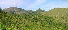
Tadiandamol or Thadiyandamol is the highest mountain of (Madikeri taluk) Kodagu district, Karnataka, India. It is the third highest peak in Karnataka(after Mullayyanagiri & Kudremukha).[1] It is located Western Ghats range, and reaches an elevation of 1,748 m. The mountain has patches of shola forests in the valleys.
| Tadiandamol | |
|---|---|
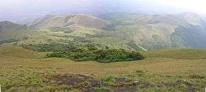 Sholas on Tadiandamol showing Strobilanthes edges. | |
| Highest point | |
| Elevation | 1,748 m (5,735 ft) |
| Coordinates | 12°13′3.2308″N 75°36′31.7340″E |
| Geography | |
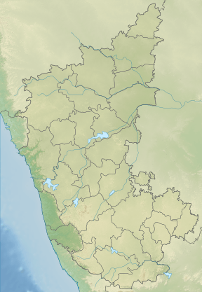 Tadiandamol Location of Tadiandamol, Karnataka 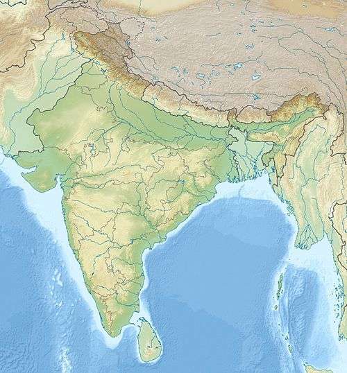 Tadiandamol Tadiandamol (India) | |
| Location | Madikeri Taluk , Kodagu District, Karnataka, India |
| Parent range | Western Ghats |
| Climbing | |
| Easiest route | Hike |
The Nalaknad (also known as Nalnad - meaning 4 villages) palace at the foothills is an important historical landmark. This was one of the landmarks mapped during the Great Trigonometric Survey.
It is a place of interest for trekkers and naturalists. The climb to the top and back can be completed as a day hike; camping is banned since December 2016.
Etymology
The name Tadiandamol literally means largest base (thadi = broad, large, huge; anda = belonging to (possessive) in Kodava; mol = hill, base, peak). It loosely means Tallest Mount,[2] and the name also could translate as Broad Hill.[3]
See also
References
External links
