Sumenep Regency
Sumenep Regency (Madurese: Songènèb) is a regency of the East Java province, Indonesia. It has an area of 1,998.5 km² and a population of 1,042,312 inhabitants according to the 2010 Census[1] (an increase from 985,981 from the previous census in 2000); the latest official estimate (as of January 2014) is 1,071,591. The regency occupies the eastern end of Madura island and also includes numerous islands to the east (primarily Talango, the Sapudi Islands, and the Kangean Islands), the north (the Masalembu Islands), and the south (the Giligenteng Islands) of Madura. It is bordered by the Pamekasan Regency to the west, Madura Strait to the south, and the Java Sea to the north and east. Its administrative capital is Sumenep. The airport nearby is Trunojoyo Airport with flights to Surabaya.
Sumenep Regency Kabupaten Sumenep Songènèb | |
|---|---|
 Seal | |
| Motto(s): Sumekar "Sumenep Karaton" | |
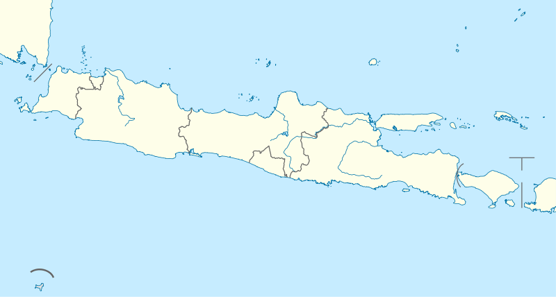
 Location within East Java | |
| Coordinates: 7°01′S 113°52′E | |
| Country | Indonesia |
| Province | East Java |
| Settled | October 31, 1269 |
| Capital | Sumenep |
| Government | |
| • Regent | A. Busyro Karim |
| • Vice regent | Soengkono Sidik |
| Area | |
| • Total | 1,998.5 km2 (771.6 sq mi) |
| Elevation | 25 m (82 ft) |
| Population (2014) | |
| • Total | 1,071,591 |
| • Density | 540/km2 (1,400/sq mi) |
| Time zone | UTC+7 (IWST) |
| Area code | (+62) 328 |
| Website | sumenepkab.go.id |

Geography and administration
Administrative boundaries
Sumenep Regency is located at the eastern end of Madura Island; it also includes 126 scattered islands located between 113 ° 32'54 "-116 ° 16'48" East Longitude and between 4 ° 55'-7 ° 24 'South latitude.
The regency is bordered to the south by the Strait of Madura and Bali Sea, to the north by the Java Sea, to the west by Pamekasan Regency (the only land border) and to the east by the Java Sea and Flores Sea.
Area
The total area of Sumenep Regency is 1,998.5 km²: this was formerly quoted as comprising 179.32 km² of settlements, 423.96 km² of forest, 14.68 km² of grass area or vacant land, 1,130.19 km² of farm/moor/bush/field, 59.07 km² of pool/aquaculture/brackish water/lakes/reservoirs/wetlands, and 63.41 km² of "other" areas. The area of sea of Sumenep Regency, with its vast the diversity of marine resources and potential for fishery, is about 50,000 km ² +.
Administrative districts
Sumenep Regency is divided into twenty-seven districts (kecamatan), listed below with their populations at the 2010 Census:[2]
|
|
|
The districts are subdivided (as at 2007) into:
- Village: 4
- Villages: 328
- Pillars of Citizens (RW): 1,774
- Neighborhoods (RT): 5,569
References
- Biro Pusat Statistik, Jakarta, 2011.
- Biro Pusat Statistik, Jakarta, 2011.
External links

| Authority control |
|
|---|