Stoke, Quebec
Stoke is a municipality in Le Val-Saint-François in the Estrie region of Quebec in Canada.
Stoke | |
|---|---|
Municipality | |
_-_panoramio.jpg) | |
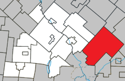 Location within Le Val-Saint-François RCM | |
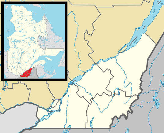 Stoke Location in southern Quebec | |
| Coordinates: 45°32′N 71°48′W[1] | |
| Country | |
| Province | |
| Region | Estrie |
| RCM | Le Val-Saint-François |
| Constituted | January 1, 1864 |
| Government | |
| • Mayor | Luc Cayer |
| • Federal riding | Compton—Stanstead |
| • Prov. riding | Mégantic |
| Area | |
| • Total | 252.90 km2 (97.65 sq mi) |
| • Land | 256.52 km2 (99.04 sq mi) |
| There is an apparent contradiction between two authoritative sources | |
| Population (2011)[3] | |
| • Total | 2,765 |
| • Density | 10.8/km2 (28/sq mi) |
| • Pop 2006-2011 | |
| • Dwellings | 1,118 |
| Time zone | UTC−5 (EST) |
| • Summer (DST) | UTC−4 (EDT) |
| Postal code(s) | J0B 3G0 |
| Area code(s) | 819 |
| Highways | |
| Website | www |
History
Stoke was first known in 1792 as Cowan's Clearance in memory of Moses Cowan, who surveyed the land for the British Crown. The Township was abandoned until 1837 due to a lack of interest, and passed into the hands of the British American Land Company. In 1856, thanks to the Stoke Road and the road that would soon lead to Sherbrooke, the territory was opened to settlement. A testimony to the repeated efforts of its citizens, Stoke boasts the neo-Gothic Saint-Philémon Church (1892). The Sentiers de l'Estrie hiking trails provide access to Mount Chapman, the highest peak of the Stoke Mountains, and Bald Peak, at an altitude of 650 metres.
Demographics
Population
| Historical Census Data - Stoke, Quebec[4] | |||||||||||||||||||||||||||||
|---|---|---|---|---|---|---|---|---|---|---|---|---|---|---|---|---|---|---|---|---|---|---|---|---|---|---|---|---|---|
|
|
| |||||||||||||||||||||||||||
(A) adjusted figure due to boundary change. | |||||||||||||||||||||||||||||
Language
Mother tongue (2011)[3]
| Language | Population | Pct (%) |
|---|---|---|
| French only | 2,680 | 96.9% |
| English only | 45 | 1.6% |
| English and French | 15 | 0.5% |
| Non-official languages | 25 | 0.9% |
See also
References
- Reference number 270853 of the Commission de toponymie du Québec (in French)
- Geographic code 42005 in the official Répertoire des municipalités (in French)
- "(Code 2442005) Census Profile". 2011 census. Statistics Canada. 2012.
- Statistics Canada: 1996, 2001, 2006, 2011 census
External links

Adjacent Municipal Subdivisions | |
|---|---|
| Cities & Towns | |
|---|---|
| Municipalities | |
| Townships | |
| Villages | |
| |
| Authority control |
|
|---|