Soapweed, California
Soapweed (formerly, Soap Weed)[2] is an unincorporated community in El Dorado County, California.[1] It is located 7.5 miles (12 km) northwest of Pollock Pines,[2] at an elevation of 3596 feet (1096 m).[1]
Soapweed | |
|---|---|
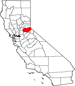
 Soapweed Location in California  Soapweed Soapweed (the United States) | |
| Coordinates: 38°50′31″N 120°40′41″W | |
| Country | United States |
| State | California |
| County | El Dorado County |
| Elevation | 3,596 ft (1,096 m) |
References
- U.S. Geological Survey Geographic Names Information System: Soapweed, California
- Durham, David L. (1998). California's Geographic Names: A Gazetteer of Historic and Modern Names of the State. Clovis, Calif.: Word Dancer Press. p. 558. ISBN 1-884995-14-4.
This article is issued from Wikipedia. The text is licensed under Creative Commons - Attribution - Sharealike. Additional terms may apply for the media files.