Shahpur, Bihar
Shahpur is a town and a notified area in Bhojpur district in the Indian state of Bihar.
Shahpur | |
|---|---|
Town | |
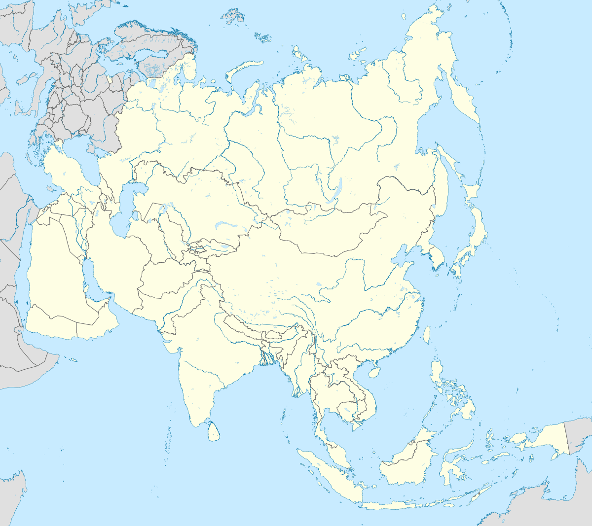
 Shahpur Location in Bihar, India  Shahpur Shahpur (India)  Shahpur Shahpur (Asia) | |
| Coordinates: 25.6°N 84.4°E | |
| Country | |
| State | Bihar |
| District | Bhojpur |
| Elevation | 51 m (167 ft) |
| Population (2011)[1] | |
| • Total | 17,767 |
| Language | |
| • Official | Hindi[2] |
| • Additional official | Urdu[2] |
| • Other | Bhojpuri |
| Time zone | UTC+5:30 (IST) |
| ISO 3166 code | IN-BR |
| Vehicle registration | BR-03 |
| Website | bhojpur |
Geography
Shahpur is located at 25.58°N 84.45°E.[3] It has an average elevation of 51 metres (167 feet).
Demographics
As of 2011 Indian Census, Shahpur had a total population of 17,767, of which 9,182 were males and 8,585 were females. Population within the age group of 0 to 6 years was 2,809. The total number of literates in Shahpur was 10,521, which constituted 59.2% of the population with male literacy of 67.9% and female literacy of 49.9%. The effective literacy rate of 7+ population of Shahpur was 70.3%, of which male literacy rate was 80.7% and female literacy rate was 59.3%. The Scheduled Castes and Scheduled Tribes population was 2,348 and 135 respectively. Shahpur had 2734 households in 2011.[1]
As of 2001 India census, Shahpur had a population of 14,456. Males constitute 52% of the population and females 48%. Shahpur has an average literacy rate of 47%, lower than the national average of 59.5%: male literacy is 58%, and female literacy is 34%. In Shahpur, 19% of the population is under 6 years of age.[4]
Administration
Shahpur assembly constituency covers Shahpur community development block; and Ishwarpura, Sarna, Suhinya, Barishwan,Chamarpur,Govindpur Tola, Belwati, Maharja, Kundeshar, Karisath, Semariya, hariharpur, sonbarasa, Beheya, chaurasta, Itawa,Bharauli, Gopalpur, Ranisagar, Karnamepur, Ramdthi, Banahi, Baghi, Diha, gaura, Sikariya, Maniyara, dhamwal and Kauria .[5]
This town is alternatively spelled as Shahpurpatti. The town comes between Ara and Buxar National Highway no.84.
Notable places
This city is known as "Town Of Temples". "Mahavira Sthan", "Kundeswar Dham" "kudwa shiv at Gosainpur" "Gharghbarni mai" are some of the major temples. It is considered to be very holy for Hindus and the temple compound hosts a number of fairs.
Notable People
- Avinash Chandra Vidyarthi, Bhojpuri Poet
References
- "Census of India: Shahpur". www.censusindia.gov.in. Retrieved 28 November 2019.
- "52nd REPORT OF THE COMMISSIONER FOR LINGUISTIC MINORITIES IN INDIA" (PDF). nclm.nic.in. Ministry of Minority Affairs. Archived from the original (PDF) on 25 May 2017. Retrieved 29 March 2019.
- Falling Rain Genomics, Inc - Shahpur
- "Census of India 2001: Data from the 2001 Census, including cities, villages and towns (Provisional)". Census Commission of India. Archived from the original on 16 June 2004. Retrieved 1 November 2008.
- "Order No. 48, 2007" (PDF). Delimitation Commission of India. Retrieved 4 May 2010.