Serpentine, Western Australia
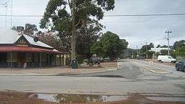
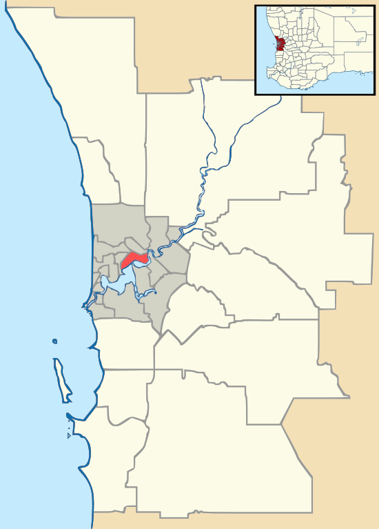
Serpentine is a town located 55 kilometres (34 mi) south-southeast of Perth, the capital of Western Australia, and 7 km south of Mundijong.
| Serpentine Perth, Western Australia | |||||||||||||||
|---|---|---|---|---|---|---|---|---|---|---|---|---|---|---|---|
 Serpentine | |||||||||||||||
 Serpentine | |||||||||||||||
| Coordinates | 32.365°S 115.981°E | ||||||||||||||
| Population | 1,265 (2016 census)[1] | ||||||||||||||
| Established | 1893 | ||||||||||||||
| Postcode(s) | 6125 | ||||||||||||||
| Location | 55 km (34 mi) from Perth | ||||||||||||||
| LGA(s) | Shire of Serpentine-Jarrahdale | ||||||||||||||
| State electorate(s) | Darling Range | ||||||||||||||
| Federal Division(s) | Canning | ||||||||||||||
| |||||||||||||||
Serpentine is located on the South Western Railway between Perth and Bunbury, and was one of the original stations when the line was opened in 1893. At the 2016 census, Serpentine had a population of 1,265.[2]
In 1891 the government had opened up land in the area by declaring the Serpentine Agricultural Area, and in 1893 decided there was sufficient demand for town lots by gazetting the Townsite of Serpentine in December 1893. The townsite derives its name from the nearby Serpentine River. The name is descriptive, derived from the "serpentine" nature of the river in its lower reaches where it was discovered and named in the early 1830s.[3]
The population of the town was 128 (80 males and 48 females) in 1898.[4]
It is the locality to which the BOM weather radar has been shifted following on from the original Perth location in West Perth.[5]
It is also the location of the Bodhinyana Buddhist Monastery.
Serpentine also serves as a stop on the Australind passenger train from Perth to Bunbury.
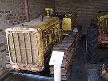 Caterpillar D2 on display in the Serpentine Vintage Tractor Museum
 Nearby Serpentine Falls
See also
- Karnet Prison
References
- Australian Bureau of Statistics (27 June 2017). "Serpentine (L) (Urban Centre/Locality)". 2016 Census QuickStats. Retrieved 30 October 2019.

- Western Australian Land Information Authority. "History of metropolitan suburb names – S". Retrieved 25 May 2007.
- "POPULATION OF WESTERN AUSTRALIA". Western Mail (Perth, WA : 1885 - 1954). Perth, WA: National Library of Australia. 22 April 1898. p. 23. Retrieved 31 May 2012.
- http://www.bom.gov.au/australia/radar/info/wa_info.shtml#serpentine70
| Preceding station | Following station | |||
|---|---|---|---|---|
| Mundijong towards Perth |
Australind | North Dandalup towards Bunbury | ||