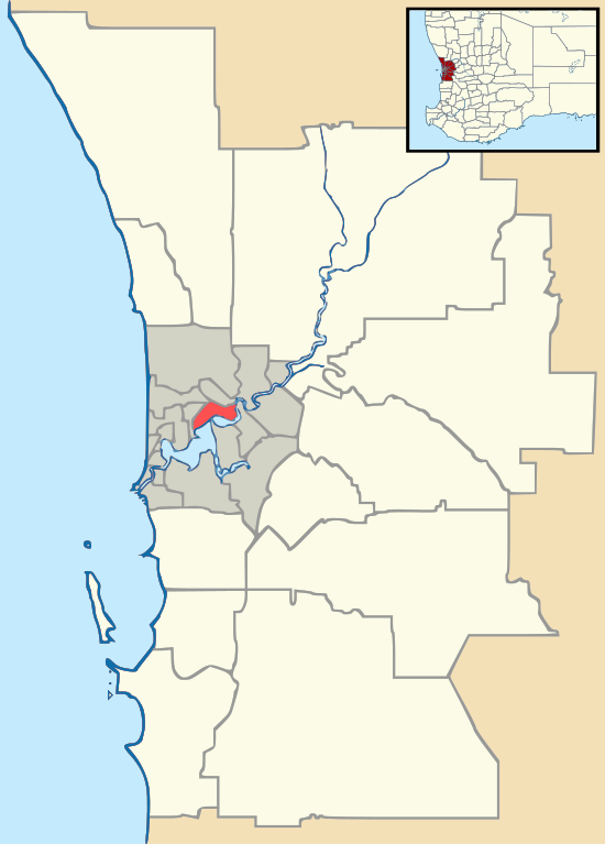
Darling Downs, Western Australia
Darling Downs is an outer southeastern suburb of Perth, Western Australia, within the Shire of Serpentine-Jarrahdale. The name, referring to the suburb's proximity to the Darling Scarp, was first used as an estate name in 1977, and adopted as a suburb name in 1997.[1]
| Darling Downs Perth, Western Australia | |||||||||||||||
|---|---|---|---|---|---|---|---|---|---|---|---|---|---|---|---|
 Darling Downs | |||||||||||||||
| Coordinates | 32.182°S 116.012°E | ||||||||||||||
| Population | 790 (?) | ||||||||||||||
| • Density | 80.6/km2 (208.8/sq mi) | ||||||||||||||
| Established | 1997 | ||||||||||||||
| Postcode(s) | 6122 | ||||||||||||||
| Area | 9.8 km2 (3.8 sq mi) | ||||||||||||||
| Location | 34 km (21 mi) SSE of Perth | ||||||||||||||
| LGA(s) | Shire of Serpentine-Jarrahdale | ||||||||||||||
| State electorate(s) | Darling Range | ||||||||||||||
| Federal Division(s) | Canning | ||||||||||||||
| |||||||||||||||
History
Most of the area now known as 'Darling Downs' was historically known as 'Wongong' (later 'Wungong'), but the westernmost portion through which Hopkinson Road passes was from the 1930s onwards was regarded as part of the 'Peel Estate'.
Major themes in the documented history of this suburb are as follows (in chronological order):
- Occupation by the Aboriginal people from whose language the name 'Wongong' is derived.
- Early exploration by European settlers and surveyors.
- Early grants, commencing with that allocated to G & J Armstrong (Wongong Farm) and later the neighbouring property established by the Marsh family.
- Formation of the South Western Highway.
- Consolidation of Wongong Farm, including the establishment of one of the state's leading dairy facilities.
- Formation of the South Western Railway.
- Subdivision of the Goss Estate, with consequent creation of Eleventh and Rowley Roads (originally named Marsh Road as it served as the access road to the Marsh family property).
- Establishment of small dairies including that of the Hilbert family, and later the establishment of Masters Dairy after which Masters Road is named.
- Drainage works in the vicinity of Hopkinson Road.
- Clay extraction from Hopkinson Road, the workings of which were later to become the Armadale rubbish tip.
- Arrival of Dutch migrants from the Free Reformed Church community from 1951, many of whom lived and worked in the area and who used the nearby Wongong Hall for their gatherings.
- Introduction of electricity (1950s), and sealing of roads (1960s).
- Subdivision for hobby farms and gradual increase in the number of properties set up for equine pursuits, most notably the establishment of Adios Stud on the bend in Rowley Road.
- Operation of the Rowley Road stockfeed store (c.1980, closed c.1990).
- Building of the Rowley Brook Village and commencement of suburban residential subdivision (c.2000).
- Opening of the new Free Reformed Church on the corner of Masters and Rowley Roads.
Facilities
Since the 1990s, Darling Downs has been in transformation from a rural area mostly comprising hobby farms and a small number of larger land holdings to an outer suburban area of quality housing stock on generous residential lots. As yet there are no commercial facilities in the area. Established community facilities are:
- Rowley Brook Village (an aged persons village).
- Darling Downs Free Reformed Church.
References
- Western Australian Land Information Authority. "History of metropolitan suburb names – D". Retrieved 11 May 2007.