Oldbury, Western Australia
Oldbury is a district to the south of Perth, Western Australia, within the Peel region. It has no central township, and lies west of the South Western Highway, close to Byford and Mundijong. Part of the Pinjarra Plain, the district is a productive environment featuring dairy and rural engagements, although consisting of sandy soils and largely felled. The area was part of the drainage scheme that contributed to the Peel Estuary environmental task and the consequent Dawesville Cut. Oldbury is part of a major realigning process in the Perth metro area, as divisions of regional land and urban districts develop, boundaries maintained since European settlement.
| Oldbury Perth, Western Australia | |||||||||||||||
|---|---|---|---|---|---|---|---|---|---|---|---|---|---|---|---|
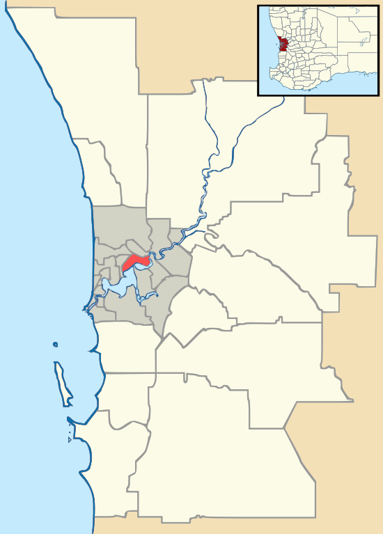 Oldbury Location in metropolitan Perth | |||||||||||||||
| Coordinates | 32.263°S 115.916°E | ||||||||||||||
| Population | 319 (2011 census)[1] | ||||||||||||||
| Postcode(s) | 6121 | ||||||||||||||
| LGA(s) | Shire of Serpentine-Jarrahdale | ||||||||||||||
| State electorate(s) | Darling Range | ||||||||||||||
| Federal Division(s) | Canning | ||||||||||||||
| |||||||||||||||
References
- Australian Bureau of Statistics (31 October 2012). "??? (State Suburb)". 2011 Census QuickStats. Retrieved 17 February 2017.

This article is issued from Wikipedia. The text is licensed under Creative Commons - Attribution - Sharealike. Additional terms may apply for the media files.