Rosette, Utah
Rosette is an unincorporated ranching community in northwestern Box Elder County, Utah, United States.[1]
| Historical population | |||
|---|---|---|---|
| Census | Pop. | %± | |
| 1920 | 100 | — | |
| 1930 | 77 | −23.0% | |
| 1940 | 86 | 11.7% | |
| 1950 | 68 | −20.9% | |
| Source: U.S. Census Bureau[2] | |||
Rosette, Utah | |
|---|---|
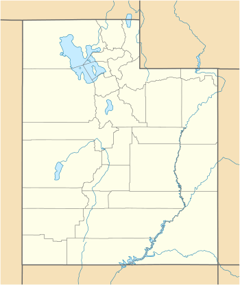 Rosette Location of Rosette within the State of Utah  Rosette Rosette (the United States) | |
| Coordinates: 41°49′07″N 113°24′47″W | |
| Country | United States |
| State | Utah |
| County | Box Elder |
| Named for | Wild roses |
| Elevation | 5,686 ft (1,733 m) |
| Time zone | UTC-7 (Mountain (MST)) |
| • Summer (DST) | UTC-6 (MDT) |
| ZIP codes | 84329 |
| Area code(s) | 435 |
| GNIS feature ID | 1445146[1] |
Description
Rosette is located about 4 miles (6.4 km) west of Park Valley, south of the Raft River Mountains.[3]
The community was named by the town's first postmaster, Jonathan Campbell, in 1871. The name refers to the wild roses in the area.[4]
Climate
According to the Köppen Climate Classification system, Rosette has a semi-arid climate, abbreviated "BSk" on climate maps.[5]
See also
![]()
References
- "Rosette". Geographic Names Information System. United States Geological Survey.
- "Census of Population and Housing". census.gov. United States Census Bureau. Retrieved 7 Nov 2011.
- "MyTopo Maps - Rosette, UT, USA" (Map). mytopo.com. Trimble Navigation, Ltd. Retrieved 16 Mar 2018.
- Van Cott, John W. (1990). Utah Place Names: A Comprehensive Guide to the Origins of Geographic Names: A Compilation. Salt Lake City: University of Utah Press. p. 321. ISBN 978-0-87480-345-7. OCLC 797284427. Retrieved 16 Mar 2018.
- Climate Summary for Rosette, Utah
External links
![]()
Municipalities and communities of Box Elder County, Utah, United States | ||
|---|---|---|
| Cities | 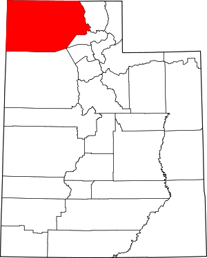 Map of Utah highlighting Box Elder County | |
| Towns | ||
| CDPs | ||
| Unincorporated areas | ||
| Ghost towns | ||
| Indian reservation | ||
This article is issued from Wikipedia. The text is licensed under Creative Commons - Attribution - Sharealike. Additional terms may apply for the media files.