Grouse Creek, Utah
Grouse Creek (also Cookesville) is an unincorporated community in the nearly unpopulated northwestern region of Box Elder County, Utah, United States, near the Idaho and Nevada borders. The community lies along unpaved roads north of State Route 30 in the Grouse Creek Mountains.[2] Its elevation is 5,331 feet (1,625 m).[1] Although it is unincorporated, it has a post office, with the ZIP code of 84313.[3]
Grouse Creek, Utah | |
|---|---|
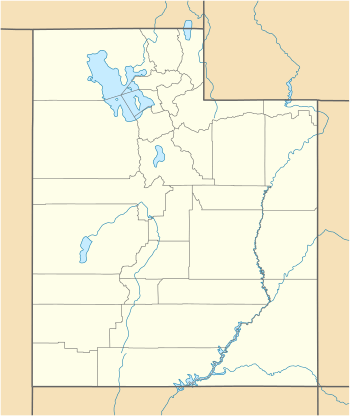 Grouse Creek Location within the state of Utah | |
| Coordinates: 41°42′34″N 113°53′0″W | |
| Country | United States |
| State | Utah |
| County | Box Elder |
| Settled | 1876 |
| Founded by | Benjamin F. Cook |
| Named for | Sage Grouse |
| Elevation | 5,331 ft (1,625 m) |
| Time zone | UTC-7 (Mountain (MST)) |
| • Summer (DST) | UTC-6 (MDT) |
| ZIP codes | 84313 |
| GNIS feature ID | 1428419[1] |
History
Grouse Creek was first settled in 1876.[4] The community took its name from a nearby creek of the same name where grouse were abundant.[5]
Climate
According to the Köppen Climate Classification system, Grouse Creek has a semi-arid climate, abbreviated "BSk" on climate maps.[6]
Demographics
| Historical population | |||
|---|---|---|---|
| Census | Pop. | %± | |
| 1880 | 267 | — | |
| 1890 | 274 | 2.6% | |
| 1900 | 278 | 1.5% | |
| 1910 | 337 | 21.2% | |
| 1920 | 342 | 1.5% | |
| 1930 | 329 | −3.8% | |
| 1940 | 267 | −18.8% | |
| 1950 | 167 | −37.5% | |
| Source: U.S. Census Bureau[7] | |||
See also
![]()
References
- "Grouse Creek, Utah". Geographic Names Information System. United States Geological Survey. Retrieved 2008-04-12.
- Rand McNally. The Road Atlas '08. Chicago: Rand McNally, 2008, p. 102.
- Zip Code Lookup
- Andrew Jenson. Encyclopedic History of the Church. p. 305
- The Utah Genealogical and Historical Magazine, Volumes 9-10. 1918. p. 184.
- Climate Summary for Grouse Creek, Utah
- "Census of Population and Housing". U.S. Census Bureau. Archived from the original on February 8, 2006. Retrieved November 4, 2011.
External links
| Wikimedia Commons has media related to Grouse Creek, Utah. |
- Grouse Creek Country Club Unofficial community website
Municipalities and communities of Box Elder County, Utah, United States | ||
|---|---|---|
| Cities | 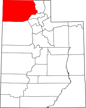 Map of Utah highlighting Box Elder County | |
| Towns | ||
| CDPs | ||
| Unincorporated areas | ||
| Ghost towns | ||
| Indian reservation | ||
This article is issued from Wikipedia. The text is licensed under Creative Commons - Attribution - Sharealike. Additional terms may apply for the media files.