Poulton, Merseyside
Poulton is an area of the town of Wallasey, on the Wirral Peninsula, England. It is bordered by Liscard to the north, Seacombe and Egremont to the east. West Float, the former Wallasey Pool - which gave the area its name - is to the south.
| Poulton | |
|---|---|
 St Luke's Church, Poulton | |
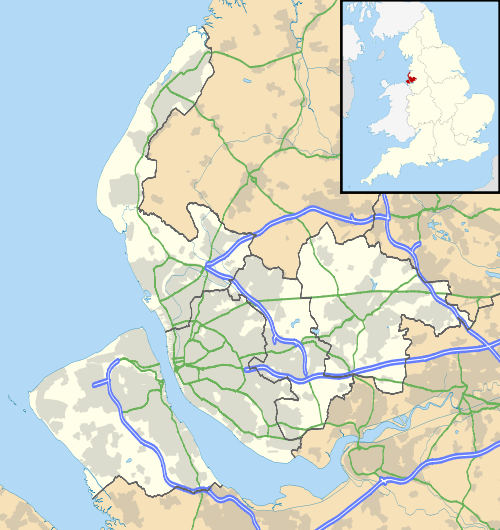 Poulton Location within Merseyside | |
| OS grid reference | SJ308911 |
| • London | 180 mi (290 km)[1] SE |
| Metropolitan borough | |
| Metropolitan county | |
| Region | |
| Country | England |
| Sovereign state | United Kingdom |
| Post town | WALLASEY |
| Postcode district | CH44 |
| Dialling code | 0151 |
| ISO 3166 code | GB-WRL |
| Police | Merseyside |
| Fire | Merseyside |
| Ambulance | North West |
| UK Parliament | |
History
Originally a small fishing and farming hamlet, Poulton developed in the 19th century through the expansion of the docks and associated industries, becoming part of Poulton-cum-Seacombe[2] before the two areas split.
Geography
Poulton lies on the eastern side of the Wirral Peninsula, approximately 3 km (1.9 mi) south-east of the Irish Sea at New Brighton, 9 km (5.6 mi) east-north-east of the Dee Estuary at West Kirby and about 2 km (1.2 mi) west of the River Mersey at Seacombe. The area is situated at an elevation of about 17 m (56 ft) above sea level.[3] West Float is to the south of Poulton, separating it from Birkenhead.
Neighbouring places | ||||||||||
|---|---|---|---|---|---|---|---|---|---|---|
| ||||||||||
Transport
Poulton Road is the main street that runs through this area, with Rostherne Avenue, Mill Lane and Gorsey Lane amongst others connecting to it.
The area was served by Liscard and Poulton railway station on the Seacombe branch of the Wirral Railway. Passenger services ended on 4 January 1960 and all services on the line terminated on 16 June 1963. Much of the line was used as the approach road to the Kingsway (Wallasey) Tunnel.
References
- "Coordinate Distance Calculator". boulter.com. Retrieved 6 March 2016.
- "Great Britain: OS Six Inch, 1888-1913". National Library of Scotland. Retrieved 1 November 2016.
- "SRTM & Ordnance Survey Elevation Data in PHP". Retrieved 1 November 2016.
Bibliography
- Mortimer, William Williams (1847). The History of the Hundred of Wirral. London: Whittaker & Co. pp297-299.