Pocosol, San Carlos
Pocosol is the name of the district number 13 of the Canton of San Carlos, which in turn belongs to the province of Alajuela in Costa Rica.
Pocosol | |
|---|---|
District | |
 Pocosol | |
| Coordinates: 10°37′22″N 84°31′38″W | |
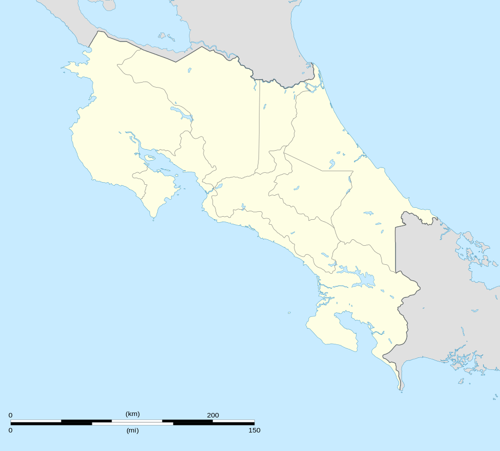
| Country | |
| Province | Alajuela |
| Canton | San Carlos |
| Area | |
| • Total | 631.55 km2 (243.84 sq mi) |
| Elevation | 100 m (300 ft) |
| Population (2011) | |
| • Total | 15,395 |
| • Density | 24/km2 (63/sq mi) |
| Time zone | UTC−06:00 |
| ZIP codes | 21013 |
Location
It is located in the northern region of the country and its limits are, to the north Nicaragua, to the south Monterrey, to the west Los Chiles, to the east Cutris.
Its head, the town of Santa Rosa, is located 44.7 km (1 hour) NE of Ciudad Quesada and 144 km (2 hours 51 minutes) to the NW of San Jose the capital of the nation.
Geography
Pocosol has an area of 631.55 km², which makes it the second canton district by area.
It is located at an elevation of between 100 meters above sea level. It presents a level ground in almost all its extension.
Demography
The district counts on 15 395 inhabitants, turning it into the fourth most populated of the canton, behind of The district counts on 15 395 inhabitants, turning it into the fourth most populated of the canton, behind of de Quesada, Aguas Zarcas y Pital.[1]
Pocosol has 44 population centers:
- Santa Rosa (head of the district)
- Santa María
- Las Brisas
- Acapulco
- Tres y Tres
- Asentamiento Juanilama
- La Esperanza
- San Martín
- San Bosco
- Santa Lucía
- San Diego
- San Andrés
- San Isidro (Zapatón)
- Buenos Aires
- Esterito
- La Milagrosa
- Asentamiento Los Ángeles
- Asentamiento Las Nieves
- Asentamiento Santa Rosa
- Parajeles
- San Gerardo
- Santa Cecilia
- El Edén
- La Luisa
- San Luis
- El Plomo
- Rancho Quemado
- Paraíso
- Pueblo Nuevo
- Paso Real
- San Rafael
- La Ceiba
- La Aldea
- San Alejo
- San Cristóbal
- Cuatro Esquinas
- Banderas
- El Conchito
- San Isidro
- La Guaria
- El Jocote
- Llano Verde
- La Azucena
- El Concho
- Pueblo Santo
Economy
It has 3 main branches:
1-Sowing of agricultural products like citrus, sugar cane, roots and tubers.
2-Dual purpose cattle activity (meat and milk).
3-Reforestation and industrialization of wood.
Pocosol has health and educational services. In addition to a lot of commerce such as pharmacies, shops, financial institutions, restaurants, among others.
See also
- Canton of San Carlos
- District of Quesada
- District of Florencia
- District of Buenavista
- District of Aguas Zarcas
- District of Venecia
- District of Pital
- District of La Fortuna
- District of La Tigra
- District of La Palmera
- District of Venado
- District of Cutris
- District of Monterrey
- List of districts of Costa Rica
References
- "2011 Census Population Report" (PDF). INEC. Archived from the original (pdf) on 2017-08-07. Retrieved 2017-08-10.
| Alajuela |
|
|---|---|
| San Ramón | |
| Grecia |
|
| San Mateo |
|
| Atenas | |
| Naranjo | |
| Palmares | |
| Poás |
|
| Orotina |
|
| San Carlos | |
| Zarcero | |
| Sarchí |
|
| Upala | |
| Los Chiles |
|
| Guatuso |
|
| Río Cuarto | |