Piper's Hill
Piper's Hill (Chinese: 琵琶山; Jyutping: pei4paa4saan1) is a hill north of Cheung Sha Wan in Kowloon of Hong Kong. Administratively, it is on the border between Sham Shui Po District and Sha Tin District.[1]
| Piper's Hill, Hong Kong | |
|---|---|
| 琵琶山 | |
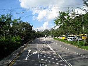 View of Tai Po Road near Piper's Hill | |
| Highest point | |
| Elevation | 230 m (750 ft) |
| Coordinates | 22.3459°N 114.1521°E |
| Geography | |
 Piper's Hill, Hong Kong Location of Piper's Hill in Hong Kong | |
| Location | |
Geography
The hill is to the east of Butterfly Valley and to the west of Eagle's Nest. Tai Po Road goes through Lai Chi Kok Pass in over hill. With a height of 230 metres, the hill has a helipad at its peak, accessible via Piper's Hill Road.
References
- "HK District Council Constituency Map" (PDF). HK Government Electoral Affairs Commission.
| 900 meters or more | |
|---|---|
| 800 to 899 meters | |
| 700 to 799 meters | |
| 600 to 699 meters |
|
| 500 to 599 meters |
|
| 400 to 499 meters (excerpt) |
|
| 300 to 399 meters (excerpt) |
|
| 200 to 299 meters (excerpt) |
|
| 100 to 199 meters (excerpt) |
|
| 99 meters or less (excerpt) |
|
| Collectively |
|
This article is issued from Wikipedia. The text is licensed under Creative Commons - Attribution - Sharealike. Additional terms may apply for the media files.