Namu Atoll
Namu Atoll (Marshallese: Nam̧o, [nʲɑmˠo][1]) is a coral atoll of 54 islands in the Pacific Ocean, and forms a legislative district of the Ralik Chain of the Marshall Islands. Its total land area is only 6.27 square kilometres (2.42 sq mi), but that encloses a lagoon of 397 square kilometres (153 sq mi). It is located approximately 62 kilometres (39 mi) south-southwest of Kwajalein Atoll.
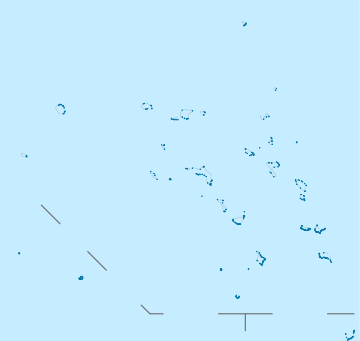
 NASA picture of Namu Atoll | |
 Namu Atoll | |
| Geography | |
|---|---|
| Location | North Pacific |
| Coordinates | 07°59′00″N 168°10′25″E |
| Archipelago | Ralik |
| Total islands | 51 |
| Area | 6.27 km2 (2.42 sq mi) |
| Highest elevation | 3 m (10 ft) |
| Administration | |
| Demographics | |
| Population | 780 (2011) |
| Ethnic groups | Marshallese |
There are four main population centres, the islands of Namu, Majkin, Loen and Mae. The population of Namu Atoll was 780 in 2011.
History
The Spanish expedition of Álvaro de Mendaña made the first recorded sighting by Europeans of Namu Atoll on 17 September 1568. The pilot, Hernán Gallego, mistook it for San Bartolome (Bokak Atoll), which Toribio Alonso de Salazar had seen in 1526, although Bokak was a long way to the north. Mendaña says they named them San Mateo Shoals. The islands were inhabited, with many houses. A landing party found a chisel made of a nail and pieces of rope which were presumably gifts left there on 3 July 1566 by the galleon San Jerónimo, then commanded by the rebel pilot Lope Martín.[2]
The Empire of Germany claimed Namu Atoll along with the rest of the Marshall Islands in 1884, and the Germans established a trading post. After World War I, the island came under the South Pacific Mandate of the Empire of Japan. Following the end of World War II, it came under the control of the United States as part of the Trust Territory of the Pacific Islands until 1986 when the Marshall Islands achieved their independence.
Education
Marshall Islands Public School System operates public schools:[3]
- Loen Elementary School
- Mae Elementary School
- Majkin Elementary School
- Namo Elementary School
Students are zoned to Jaluit High School in Jaluit Atoll.[4]
In the 1994–1995 school year Namu had one private high school.[5]
References
- Marshallese-English Dictionary - Place Name Index
- Sharp, Andrew The discovery of the Pacific Islands Oxford, 1960, p.40,47.
- "Public Schools Archived 2018-02-21 at the Wayback Machine." Marshall Islands Public School System. Retrieved on February 21, 2018.
- "Annual Report 2011-2012." Ministry of Education (Marshall Islands). Retrieved on February 22, 2018. p. 54 (PDF p. 55/118). "As such, Jaluit High School enroll students from the Ralik and Iolab school zones including schools from Ebon, Namdrik, Kili, Jaluit, Ailinglaplap, Jabat, and Namu."
- McMurray, Christine and Roy Smith. Diseases of Globalization: Socioeconomic Transition and Health. Routledge, October 11, 2013. ISBN 1134200226, 9781134200221. p. 127.
External links
- Marshall Islands site
- Entry at Oceandots.com at the Wayback Machine (archived December 23, 2010)
Marshall Islands articles | |||||||
|---|---|---|---|---|---|---|---|
| History | |||||||
| Geography |
| ||||||
| Politics |
| ||||||
| Economy |
| ||||||
| Culture |
| ||||||
| |||||||
| Authority control |
|
|---|