Nagrakata
Nagrakata is the headquarters of Nagrakata (Community development block) in Malbazar subdivision of Jalpaiguri district in the Indian state of West Bengal.
Nagrakata | |
|---|---|
Town | |
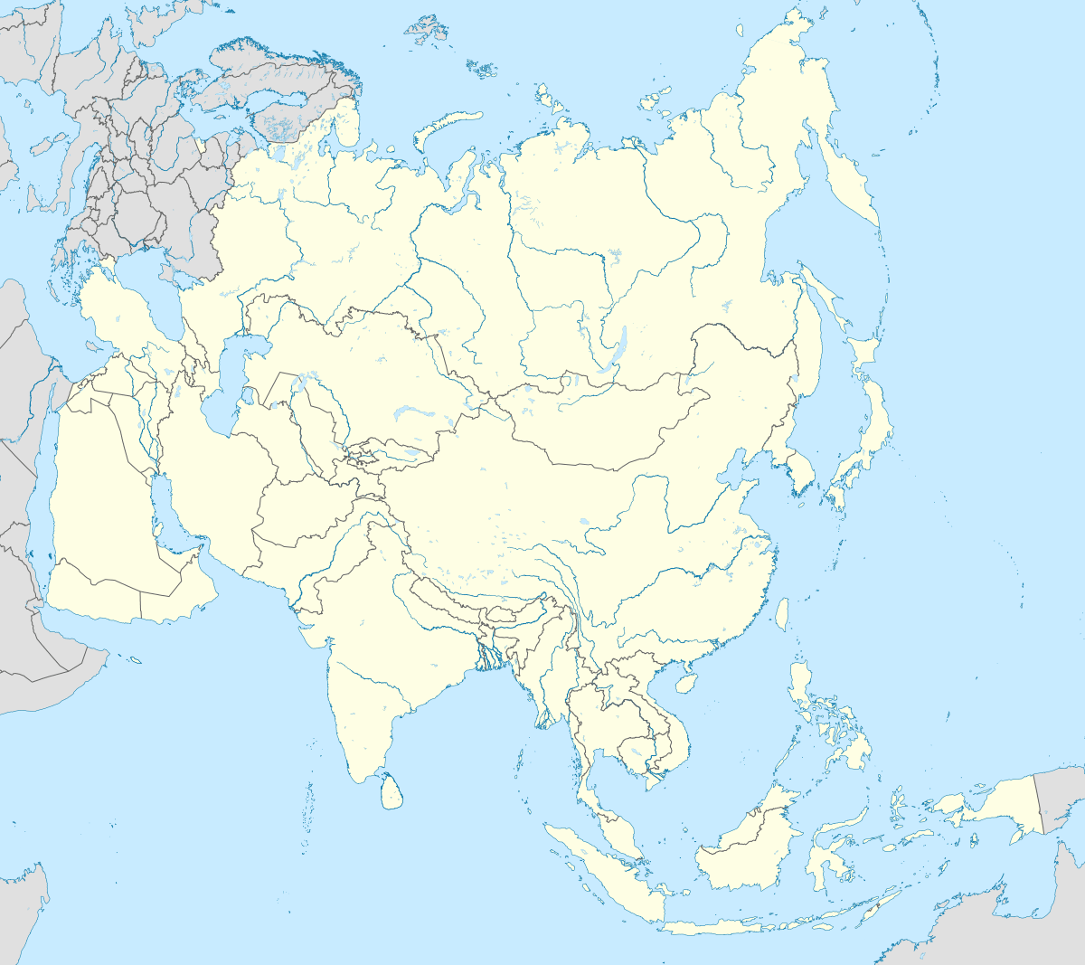
 Nagrakata Location in West Bengal, India  Nagrakata Nagrakata (India)  Nagrakata Nagrakata (Asia) | |
| Coordinates: 26°54′0″N 88°58′0″E | |
| Country | |
| State | West Bengal |
| District | Jalpaiguri |
| Elevation | 214 m (702 ft) |
| Languages | |
| • Official | Bengali[1][2] |
| • Additional official | English[1] |
| Time zone | UTC+5:30 (IST) |
| PIN | 735225 |
| Telephone code | 03565 |
| Vehicle registration | WB |
| Coastline | 0 kilometres (0 mi) |
| Nearest city | Siliguri |
| Lok Sabha constituency | Alipurduars |
| Vidhan Sabha constituency | Nagrakata |
| Website | wb |
Geography
It is located at 26°54′0″N 88°55′0″E at an elevation of 214 m above MSL.[3]
Location
National Highway 31C passes through Nagrakata. It is a station on the New Jalpaiguri-Alipurduar-Samuktala Road Line.
Educational institutions
Nowadays there are a number of schools in this block. The main schools include:
- Nagrakata High School (Co-ed,Bengali)
- St. Capitanio Girls High School (Girls,Hindi)
- St. Mary's Boarding High School (Boys,Hindi)
- Chengmari Tea Estate High School (Co-ed,Hindi)
- Nagrakata Hindi Madhaymik Vidyalaya (Co-ed,Hindi)
- Sulkapara high school (Co-ed,Bengali)
- Ekalavya School (Co-ed,Boarding school)
References
- "Fact and Figures". www.wb.gov.in. Retrieved 10 March 2019.
- "52nd REPORT OF THE COMMISSIONER FOR LINGUISTIC MINORITIES IN INDIA" (PDF). nclm.nic.in. Ministry of Minority Affairs. p. 85. Archived from the original (PDF) on 25 May 2017. Retrieved 10 March 2019.
- Map and weather of Nagrakata
External links
- About Nagrakata
- Satellite map of Nagrakata

This article is issued from Wikipedia. The text is licensed under Creative Commons - Attribution - Sharealike. Additional terms may apply for the media files.