Mount Bolanos
Mount Bolanos is a south-west peak in the United States territory of Guam.
| Mount Bolanos | |
|---|---|
 Mount Bolanos Guam, Micronesia, U.S. territory | |
| Highest point | |
| Elevation | 368 m (1,207 ft) [1] |
| Coordinates | 13°17′53″N 144°41′06″E [2] |
| Geography | |
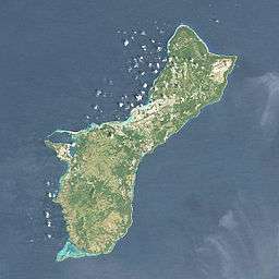
| Location | Guam, Micronesia, U.S. territory |
| Topo map | USGS Agat |
Rising to 368 meters (1,207 ft) above sea level, it is the 3rd highest peak in Guam (after Mount Lamlam and Mount Jumullong Manglo, and before Mount Almagosa).[3]
Nearby are located the Bolanos Conservation Reserve (0.4 km[4]) and the Bolanos River (1.6 km[4]). The closest populated places are the villages of Umatac (4.5 km[4]) and Agat (9 km). Farther to the north is the capital Hagåtña (25 km).
References
- "Mount Bolanos". Encyclopædia Britannica Online. Retrieved 2014-05-25.
- "Mount Bolanos". Geographic Names Information System. United States Geological Survey. Retrieved 2014-05-25.
- "Highest Mountain Peaks in Guam". MountainZone.com. Archived from the original on 2013-10-29.
- "Mount Bolanos". TravelingLuck.com. Retrieved 2014-05-25.
Hagåtña (capital) | |
| Topics |
|
| Islands | |
| Villages | |
| Peaks |
|
| Healthcare | |
This article is issued from Wikipedia. The text is licensed under Creative Commons - Attribution - Sharealike. Additional terms may apply for the media files.