Moore Park, Toronto
Moore Park is a neighbourhood in Toronto, Ontario, Canada. It lies along both sides of St. Clair Avenue East between the Vale of Avoca ravine and Moore Park ravine (formerly Spring Valley ravine). The northern boundary is Mount Pleasant Cemetery and the southern the Canadian Pacific Railway tracks. Moore Park is one of Toronto's most affluent neighbourhoods.
Moore Park | |
|---|---|
Neighbourhood | |
 Typical homes in Moore Park | |
 Vicinity | |
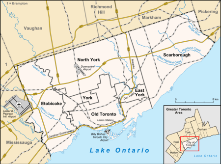 Location within Toronto | |
| Coordinates: 43.691°N 79.377°W | |
| Country | |
| Province | |
| City | |
| Established | 1792 York County |
| Township | 1793 York Township |
| Annexed | 1912 Toronto |
The neighbourhood takes its name from its developer, John T. Moore. To encourage buyers, he built two bridges in 1891: the original steel bridge on St. Clair over the Vale of Avoca, and the original wooden bridge on Moore Avenue over Spring Valley ravine. He also helped establish railway service to the neighbourhood, overseeing the connection of the area to the Toronto Belt Line Railway, a commuter railway.[1] The development was marketed to the wealthy, and the neighbourhood remains wealthy. Moore Park was annexed by the City of Toronto on December 16, 1912.[2]
Census tract 0125.00 of the 2006 Canadian census covers Moore Park. According to that census, the neighbourhood has 4,474 residents, down 2% from the 2001 census. Average income is CA$154,825, one of the highest incomes of all Toronto neighbourhoods, and not far below neighbouring Rosedale. The neighbourhood is almost entirely English speaking.
Education
Public
- Bennington Heights Elementary School
- Our Lady of Perpetual Help Separate School
- Whitney Jr. Public School
Private
- Gradale Academy
See also
References
- http://spacing.ca/toronto/2009/07/16/throwback-thursday-the-belt-line-railway/
- Bridge over Vale of Avoca, Deer Park Library
- Joan C. Kinsella, Historical Walking Tour of Deer Park, Toronto Public Library Board, 1996
External links
Places adjacent to Moore Park, Toronto | |
|---|---|