Masafu
Masafu | |
|---|---|
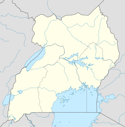 Masafu Map of Uganda showing the location of Masafu | |
| Coordinates: 00°24′43″N 34°02′07″E | |
| Country | |
| Region | Eastern Uganda |
| District | Busia District |
| Time zone | UTC+3 (EAT) |
Masafu is a town in the Eastern Region of Uganda.
Location
Masafu lies in Busia District, on the Musita–Mayuge–Lumino–Majanji–Busia Road, about 10 kilometres (6 mi) southwest of Busia, where the district headquarters are located.[1] This is approximately 196 kilometres (122 mi) east of Kampala, the capital and largest city in the country.[2] The coordinates of Masafu are 0°24'43.0"N, 34°02'07.0"E (Latitude:0.411936; Longitude:34.0352810).[3]
Points of interest
The following points of interest lie within the town limits or close to the edges of town:
- Masafu General Hospital, a government-owned public hospital, with planned bed capacity of 100.[4]
- Musita–Mayuge–Lumino–Majanji–Busia Road, a national road, under upgrade to class II bitumen surface, with completion expected in August 2017.[5]
References
- GFC (29 May 2016). "Distance between Masafu Primary School, Samia-Bugwe, Eastern Region, Uganda and Busia Uganda, Eastern Region, Uganda". Globefeed.com (GFC). Retrieved 29 May 2016.
- GFC (29 May 2016). "Distance between Masafu Hospital, Busia, Eastern Region, Uganda and Uganda Post Office, Kampala Road, Kampala, Central Region, Uganda". Globefeed.com (GFC). Retrieved 29 May 2016.
- Google (29 May 2016). "Location of Masafu, Busia District, Eastern Region, Uganda" (Map). Google Maps. Google. Retrieved 29 May 2016.
- Felix Osike, Barbara Among (3 June 2010). "Mulago Hospital for Massive Facelift". New Vision. Kampala. Retrieved 29 May 2016.
- The Insider Reporter (23 February 2015). "Enthusiasm As Mayuge Welcomes Museveni". The Insider (Uganda). Archived from the original on 4 March 2016. Retrieved 29 May 2016.
Capital: Busia | ||
| Towns and villages | 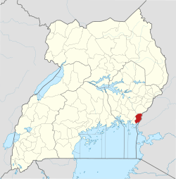 | |
| Geography | ||
| Banking |
| |
| Energy | ||
| Transport |
| |
| Health | ||
| Education | ||
| Notable people | ||
This article is issued from Wikipedia. The text is licensed under Creative Commons - Attribution - Sharealike. Additional terms may apply for the media files.