Lumino, Uganda
Lumino is a settlement in the Eastern Region of Uganda.
Lumino | |
|---|---|
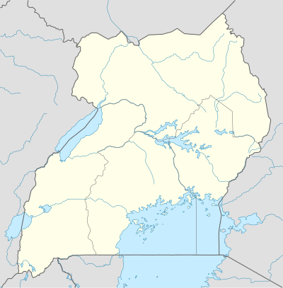 Lumino Map of Uganda showing the location of Lumino. | |
| Coordinates: 00°19′30″N 33°59′45″E | |
| Country | |
| District | Busia District |
| Elevation | 1,080 m (3,540 ft) |
| Population (2014 Census) | |
| • Total | 14,624[1] |
| Time zone | UTC+3 (EAT) |
Location
Lumino is located approximately 21 kilometres (13 mi), by road, south of Busia, the nearest large town and the location of the district headquarters.[2] This location is approximately 186 kilometres (116 mi), by road, east of Kampala, the largest city and capital of Uganda.[3] The coordinates of Lumino are 0°19'30.0"N, 33°59'45.0"E (Latitude:0.324997, Longitude:33.995831).[4]
Population
The 27 August 2014 national census enumerated the population of Lumino sub-county at 14,624.[1]
Landmarks
The landmarks within the town limits or close to the edges of town include: Musita–Mayuge–Lumino–Majanji–Busia Road - the road continues northwards for 21 kilometres (13 mi) to Busia. Also at Lumino, a southern spur of the road continues for 10 kilometres (6 mi) to the northern shores of Lake Victoria at Majanji.[5]
See also
- Busia District, Uganda
- Majanji
References
- GHC (27 August 2014). "Uganda Population By Administrative Units". Geohive.com (GHC). Archived from the original on 23 December 2015. Retrieved 22 December 2015.
- GFC. "Road Distance Between Busia and Lumino With Route Marker". Globefeed.com (GFC). Retrieved 22 December 2015.
- GFC (22 December 2015). "Travel Distance Between Kampala And Lumino With Interactive Map". Globefeed.com (GFC). Retrieved 22 December 2015.
- Google (22 December 2015). "Location of Lumino At Google Maps" (Map). Google Maps. Google. Retrieved 22 December 2015.
- GFC (22 December 2015). "Road Distance Between Lumino And Majanji With Route Marker". Globefeed.com (GFC). Retrieved 22 December 2015.
External links
Capital: Busia | ||
| Towns and villages | 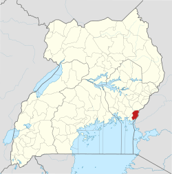 | |
| Geography | ||
| Banking |
| |
| Energy | ||
| Transport |
| |
| Health | ||
| Education | ||
| Notable people | ||