Manafwa District
Manafwa District is a district in the Eastern Region of Uganda. Manafwa is the district headquarters.
Manafwa District | |
|---|---|
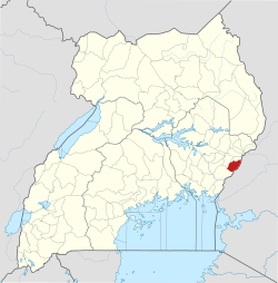 District location in Uganda | |
| Coordinates: 01°01′N 34°21′E | |
| Country | Uganda |
| Region | Eastern Region |
| Sub-region | Bugisu sub-region |
| Capital | Manafwa |
| Area | |
| • Land | 602.1 km2 (232.5 sq mi) |
| Population (2012 Estimate) | |
| • Total | 367,500 |
| • Density | 610.4/km2 (1,581/sq mi) |
| Time zone | UTC+3 (EAT) |
| Website | www |
Location
Manafwa District is bordered by Bududa District to the north, Kenya to the east and south, Tororo District to the south-west, and Mbale District to the west. The district headquarters at Manafwa are located approximately 27 kilometres (17 mi), by road, south-east of Mbale, the largest city of in the sub-region.[1]
Overview
Manafwa District was created in 2005 and was part of Mbale District, together with Sironko District, before that. The total surface area of the district is estimated at 602.1 square kilometres (232.5 sq mi). In 2006, the northern part of Manafwa District was carved off to form Bududa District.[2]
Population
In 1991, the national population census estimated the district population at 178,500. The national census of 2002 estimated the population at 262,600 inhabitants. In 2012, the population was estimated at 367,500.[3]
See also
References
- "Distance Between Mbale And Manafwa With Map". Globefeed.com. Retrieved 19 May 2014.
- Wambedde, Willie Brens (5 May 2014). "Bududa: Shading off the Landslide Ghosts". ganda Red Cross Society. Archived from the original on 19 May 2014. Retrieved 19 May 2014.
- "Estimated Population of Manafwa District In 1991, 2002 & 2012". Citypopulation.de. Retrieved 19 May 2014.