Maidenhall, Luton
Maidenhall is a district of Luton north of the town centre and Bury Park, centred on Maidenhall Road. The area is roughly bounded by the Midland Main Line to the north, Hatters Way to the south, Roman Road, Beechwood Road, Waller Avenue, and Chaul End Lane to the west, and Highfield Road and Claremont Road to the east.[1]
| Maidenhall | |
|---|---|
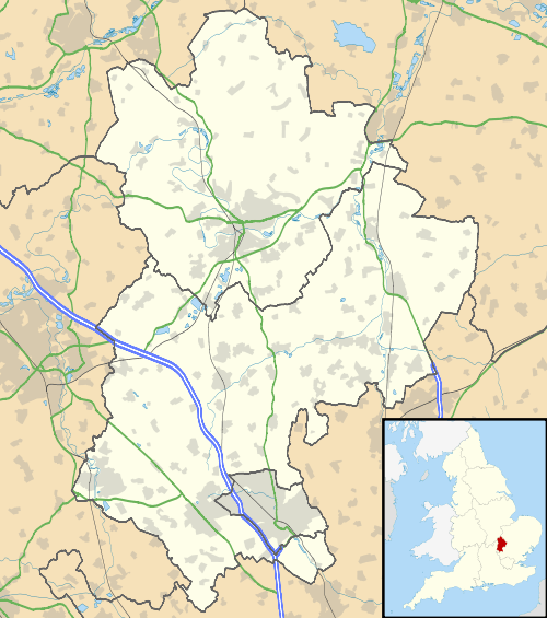 Maidenhall Location within Bedfordshire | |
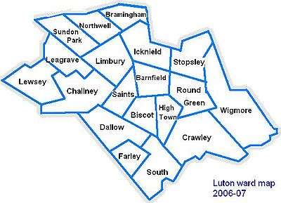
| Population | Within Challney and Saints wards |
| OS grid reference | TL 07233 22716 |
| Unitary authority | |
| Ceremonial county | |
| Region | |
| Country | England |
| Sovereign state | United Kingdom |
| Post town | LUTON |
| Postcode district | LU4 |
| Dialling code | 01582 |
| Police | Bedfordshire |
| Fire | Bedfordshire and Luton |
| Ambulance | East of England |
| UK Parliament | |
The area is a wide mix of residential, industrial, and commercial areas.
Politics
Maidenhall is falls between the Challney and Saints wards of Luton. The wards forms part of the parliamentary constituency of Luton North, and the MP is Gavin Shuker (Labour). Maidenhall is situated within the East of England (European Parliament constituency).
Map of Luton
References
This article is issued from Wikipedia. The text is licensed under Creative Commons - Attribution - Sharealike. Additional terms may apply for the media files.