Chapel Langley, Luton
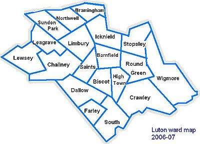
Chapel Langley is a inner city district of Luton just south west of the town centre. It is roughly bounded by Regent Street and Adelaide Street to the north, Wilsden Avenue and Bolingbroke Road to the south, Milton Road, Napier Road, and Grove Road to the west, and Castle Street and London Road to the east. Chapel Langley is one of the oldest areas of the now sprawling conurbation of Luton.[1]
| Chapel Langley | |
|---|---|
 Chapel Langley Location within Bedfordshire | |
| Population | Within South ward |
| OS grid reference | TL 08800 20917 |
| Unitary authority | |
| Ceremonial county | |
| Region | |
| Country | England |
| Sovereign state | United Kingdom |
| Post town | LUTON |
| Postcode district | LU1 |
| Dialling code | 01582 |
| Police | Bedfordshire |
| Fire | Bedfordshire and Luton |
| Ambulance | East of England |
| UK Parliament | |
On the edge of the town centre, the area contains 19th century terraced housing, churches and pubs, as well as some newer inter-war and post-war housing and flats.
Politics
Chapel Langley is part of the South ward. The ward forms part of the parliamentary constituency of Luton South, and the MP is Gavin Shuker (Labour). South is situated within the East of England (European Parliament constituency).