Madikheda Dam
Madikheda Dam is a multi-purpose dam situated in Shivpuri district in Madhya Pradesh, India before independence it comes under control of RAJPOOT CHIEFS OF RAYPUR which is Seat of THAKUR who comes from PAWAIYA CHAUHAN RAJPOOT CLAN CHAUHANS OF RAYPUR was one among the most dominating power in this region before independence .[1]
| Madikheda Dam | |
|---|---|
 View of Madikheda Dam from down stream | |
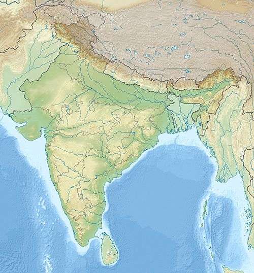 Location of Madikheda Dam in India | |
| Official name | Madikheda (Mohini Sagar) Dam |
| Location | Madikheda, Shivpuri District, Madhya Pradesh |
| Coordinates | 25°33′20″N 77°51′10″E |
| Construction began | 1978 |
| Opening date | 2008 |
| Operator(s) | Water Resources Department, Madhya Pradesh |
| Dam and spillways | |
| Impounds | Sindh River |
| Height | 62 m |
| Length | 1070 m |
| Reservoir | |
| Creates | Madikheda Reservoir |
Specification
- Length of Dam - 1070 meter[2]
- Length of spillway - 176.50 meter
- Full Reservoir Level - 346.25 meter
- Maximum Water Level - 346.85 meter
- Catchment area - 5540 km2
- Submergence area - 5672.91 ha
- Villages affected - 13
- Dam height - 62 m
- No. of gates - 10
- Year of start - 1978
- Project benefits
- Hydro power - 60 MW (20x3)
- Year of completion - 2008
See also
- River Basins in Madhya Pradesh
- Category:Dams in Madhya Pradesh
References
- Singh, Yogesh; Lodhi, R. K.; Gurjwar, R. K.; Rao, R. J. (2018). "Social-Economic Values Of Atal Sagar Hydroelectric Dam (Madikheda Dam) In Shivpuri, Madhya Pradesh, India" (PDF). Octa Journal of Environmental Research. 6 (4): 142–152. Archived (PDF) from the original on 6 April 2020.
- "Madikheda (Mohini Sagar ) Dam". India-WRIS. Archived from the original on 3 August 2018. Retrieved 26 December 2018.
This article is issued from Wikipedia. The text is licensed under Creative Commons - Attribution - Sharealike. Additional terms may apply for the media files.