List of United Kingdom locations: Ds-Dz
This is part of the list of United Kingdom locations: a gazetteer of place names in the United Kingdom showing each place's locality and geographical coordinates.
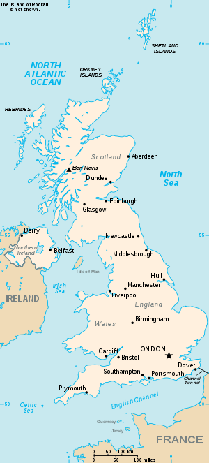
The United Kingdom
Du
Dua-Dum
Dun
Dur-Dux
Dw-Dz
This article is issued from Wikipedia. The text is licensed under Creative Commons - Attribution - Sharealike. Additional terms may apply for the media files.