Leck, Lancashire
Leck is a civil parish in the English county of Lancashire. The parish of Leck had a population of 189 recorded in the 2001 census,[1] increasing to 260 at the 2011 Census.[2] It is located next to the Leck Beck close to the main A65, 2 miles (3.2 km) south east of the Cumbrian town of Kirkby Lonsdale. Administratively it forms part of the City of Lancaster, Lancaster itself being 18 miles (29 km) away.
| Leck | |
|---|---|
 Leck Beck | |
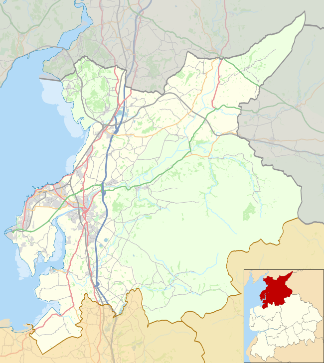 Leck Location in the City of Lancaster district 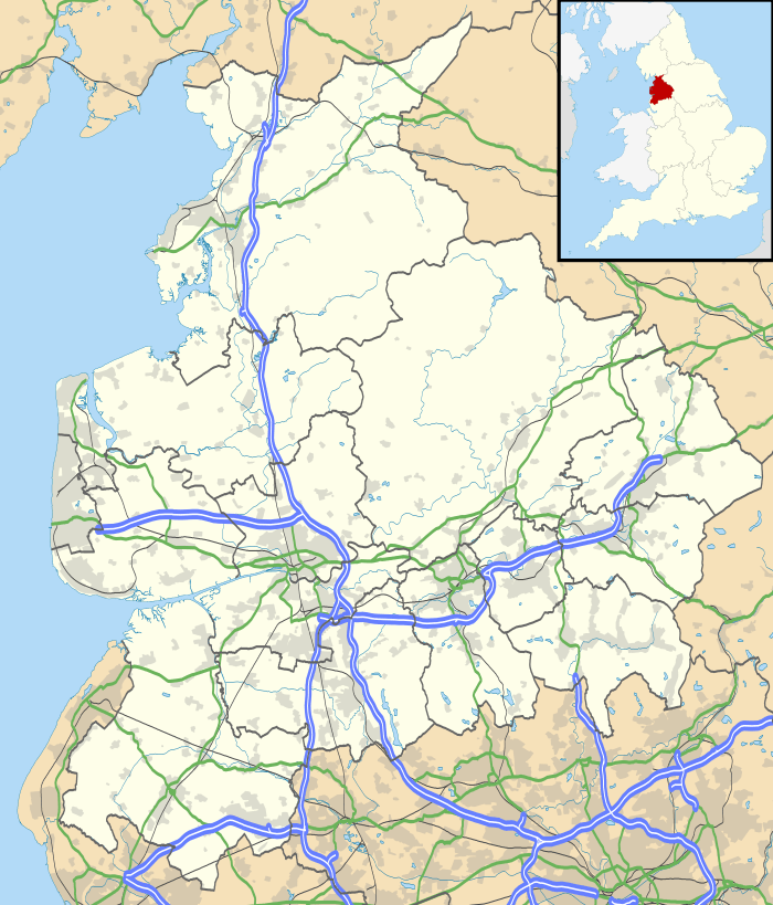 Leck Location within Lancashire | |
| Population | 260 (2011) |
| OS grid reference | SD643768 |
| Civil parish |
|
| District | |
| Shire county | |
| Region | |
| Country | England |
| Sovereign state | United Kingdom |
| Post town | CARNFORTH |
| Postcode district | LA6 |
| Dialling code | 01524 |
| Police | Lancashire |
| Fire | Lancashire |
| Ambulance | North West |
| UK Parliament | |
The Church of St Peter was built in 1878-79 and burnt down in 1913, but was accurately re-built in 1915.[3]
Geology
Leck is located on two ancient geological fault lines: the Dent Fault and the Craven Fault. These meet at around 54.190507°N 2.527339°W. In the Carboniferous to Jurassic periods these major earth movements formed the dramatic landscape of Lonsdale and the Aire Gap in Craven District
See also
References
- Office for National Statistics : Census 2001 : Parish Headcounts : Lancaster Retrieved 12 February 2010
- "Parish population 2011". Retrieved 8 June 2015.
- Pevsner, Nikolaus; Hartwell, Clare (revision) (2009). The Buildings of England – Lancashire: North. London and New Haven: Yale University Press. pp. 419–420. ISBN 978-0-300-12667-9.CS1 maint: multiple names: authors list (link)