Gragareth
Gragareth is a mountain straddling the border between Lancashire and North Yorkshire in England. At 628 metres (2,060 ft) its summit is claimed to be the highest point in Lancashire, about 200 m west of the county boundary, but inside the 2016 border of Yorkshire Dales National Park. The western slopes are known as Leck Fell and the southern slopes form Ireby Fell.

| Gragareth | |
|---|---|
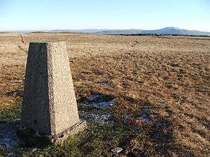 Gragareth trig point | |
| Highest point | |
| Elevation | 628 m (2,060 ft) |
| Prominence | 30 m (98 ft) |
| Parent peak | Great Coum |
| Listing | Hewitt, county top |
| Coordinates | 54°12′31″N 2°28′53″W |
| Geography | |
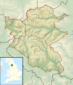 Gragareth Location in the Yorkshire Dales 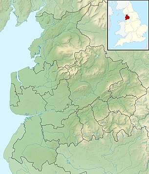 Gragareth Location in Lancashire 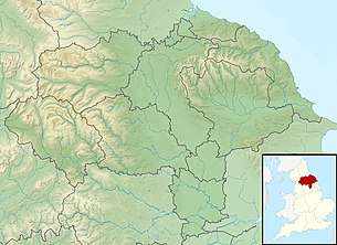 Gragareth Location in North Yorkshire 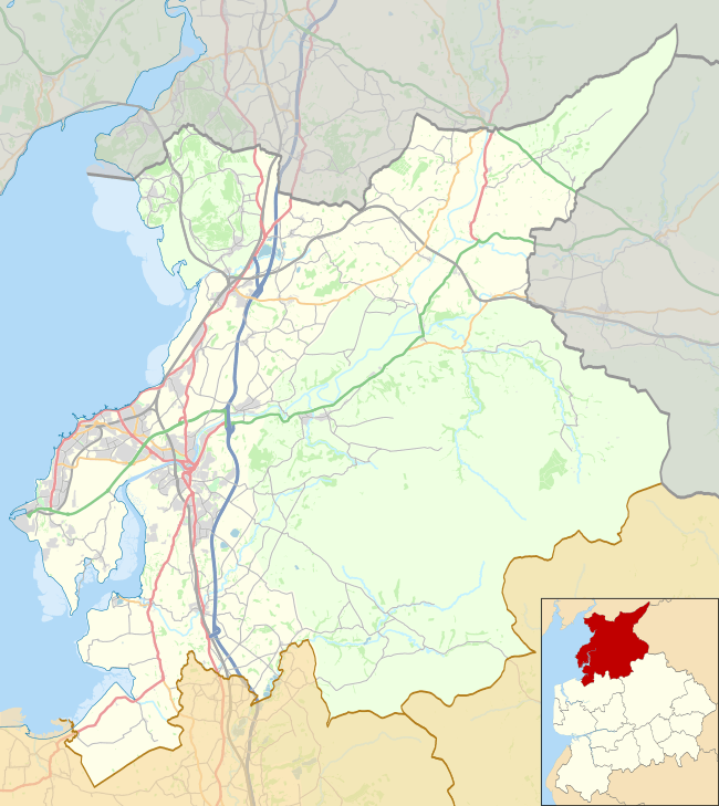 Gragareth Location in the City of Lancaster district | |
| Location | Lancashire, England |
| Parent range | Yorkshire Dales (but summit is 200m outside border of county) |
| OS grid | SD687793 |
| Topo map | OS OL2 |
The summit has a trig point and extensive views towards Morecambe Bay, the Lake District fells, the Howgill Fells, Ingleborough and the Forest of Bowland. The county boundary wall running along the ridge is believed to be "one of the highest dry stone walls in the country."[1] Historically it formed the boundary between the West Riding of Yorkshire and Westmorland. The Three Men of Gragareth are a group of tall cairns on the western side of the hill above Leck Fell House.
The fell contains several caves including Lost John's Cave, Rumbling Hole and Ireby Fell Cavern.
Wainwright includes "The ascent of Gragareth via Leck Fell returning via Ireby Fell" in his Walks in Limestone Country.[2] His route begins at Ireby village, following a lane from Todgill Farm on the Leck road to the tarmac road which leads to Leck Fell House, then "a steep scramble" up past the Three Men. His descent route is down a long enclosure formed by the county boundary to the east and the almost-parallel boundary between Leck and Ireby parishes, dropping down Ireby Fell past the opening of Ireby Fell Cavern, to return to Ireby.
References
- Wright, Nick (1974). English Mountain Summits. London: Robert Hale. p. 70. ISBN 0-7091-4560-8.
- Wainwright, Alfred (1970). "Walk 4". Walks in limestone country. Kendal: Westmorland Gazette.
External links
| Wikimedia Commons has media related to Gragareth. |