Lawa River (Indonesia)
The Lawa River is a river in East Kalimantan province, Borneo island, Indonesia, about 1100 km northeast of the capital Jakarta.[1] It is a branch of the Mahakam River in eastern Borneo, which is situated entirely within the Kutai Barat, and flows into the Mahakam approximately 200 km upstream from Samarinda. The indigenous communities of Lotaq and Mejaun are situated near its source.[2]
| Lawa River Sungai Lawa | |
|---|---|
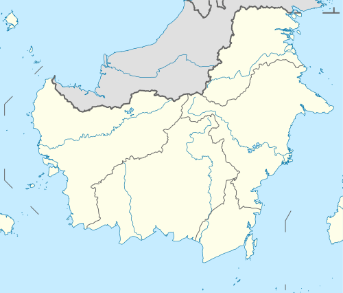 Location of river mouth  Lawa River (Indonesia) (Indonesia) | |
| Location | |
| Country | Indonesia |
| Province | East Kalimantan |
| Physical characteristics | |
| Mouth | Mahakam River |
Geography
The river flows in the eastern area of Borneo with predominantly tropical rainforest climate (designated as Af in the Köppen-Geiger climate classification).[3] The annual average temperature in the area is 23 °C. The warmest month is October, when the average temperature is around 24 °C, and the coldest is February, at 22 °C.[4] The average annual rainfall is 2939 mm. The wettest month is November, with an average of 354 mm rainfall, and the driest is August, with 124 mm rainfall.[5]
References
- Sungai Lawa at Geonames.org (cc-by); Last updated 2013-06-04; Database dump downloaded 2015-11-27
- Community Mapping and Its Implications, Australian National University.
- Peel, M C; Finlayson, B L; McMahon, T A (2007). "Updated world map of the Köppen-Geiger climate classification". Hydrology and Earth System Sciences. 11: 1633–1644. doi:10.5194/hess-11-1633-2007. Retrieved 30 January 2016.
- "NASA Earth Observations Data Set Index". NASA. 30 January 2016.
- "NASA Earth Observations: Rainfall (1 month - TRMM)". NASA/Tropical Rainfall Monitoring Mission. 30 January 2016.