Križevska Vas, Metlika
Križevska Vas (pronounced [kɾiˈʒeːu̯ska ˈʋaːs]; Slovene: Križevska vas, German: Kreuzdorf[2]) is a settlement on the left bank of the Kolpa River south of Metlika in the White Carniola area of southeastern Slovenia. The area is part of the traditional region of Lower Carniola and is now included in the Southeast Slovenia Statistical Region.[3]
Križevska Vas | |
|---|---|
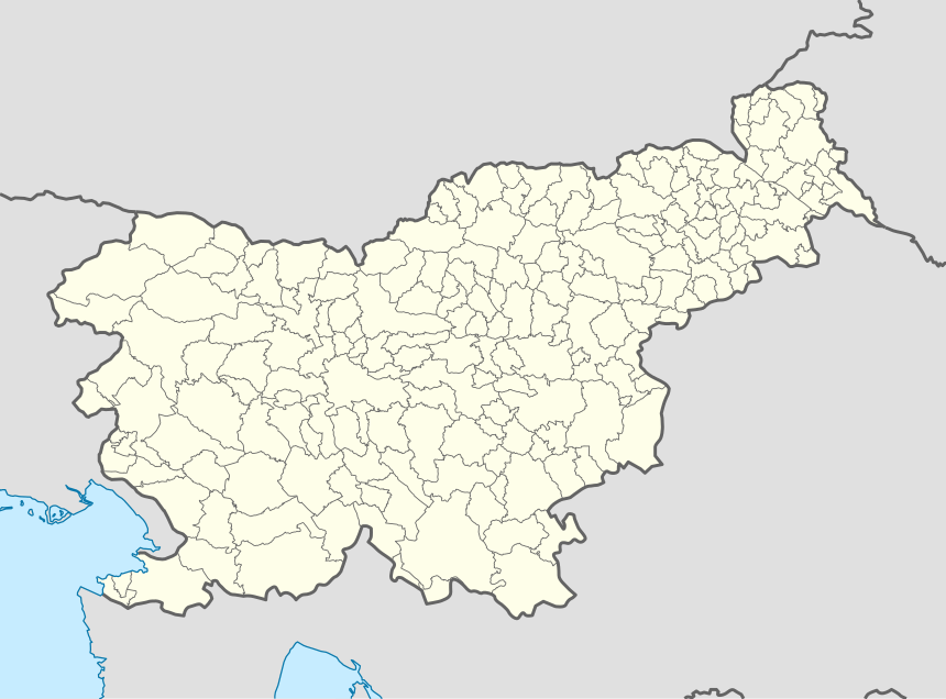 Križevska Vas Location in Slovenia | |
| Coordinates: 45°38′2.59″N 15°16′57.18″E | |
| Country | |
| Traditional region | White Carniola |
| Statistical region | Southeast Slovenia |
| Municipality | Metlika |
| Area | |
| • Total | 4.64 km2 (1.79 sq mi) |
| Elevation | 145.5 m (477.4 ft) |
| Population (2002) | |
| • Total | 193 |
| [1] | |
References
- Statistical Office of the Republic of Slovenia Archived November 18, 2008, at the Wayback Machine
- Leksikon občin kraljestev in dežel zastopanih v dravnem zboru, vol. 6: Kranjsko. 1906. Vienna: C. Kr. Dvorna in Državna Tiskarna, p. 12.
- Metlika municipal site
External links
| Settlements | Administrative centre: Metlika
|  |
|---|---|---|
| Landmarks |
| |
| Notable people | ||
This article is issued from Wikipedia. The text is licensed under Creative Commons - Attribution - Sharealike. Additional terms may apply for the media files.