Klondike Fire
The Klondike Fire was a wildfire in the U.S. state of Oregon. The fire had burned more than 175,258 acres (709 km2) [2]. During the fire, a part of the fire was merged into the Taylor Creek Fire, that specific fire, had burned 52,839 acres (214 km2).
| Klondike Fire | |
|---|---|
| Location | Siskiyou National Forest, Oregon, United States |
| Coordinates | 42.369°N 123.86°W |
| Statistics[1] | |
| Cost | Unknown |
| Date(s) | July 15, 2018 – November 6, 2018 |
| Burned area | 175,258 acres (70,924 ha) |
| Cause | Lightning |
| Buildings destroyed | 0 |
| Map | |
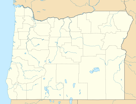 Location of fire in Oregon. | |
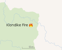 |
| Location of Klondike Fire |
Fire growth and containment progress
| Date | Area burned acres (km2) | Containment | ||
|---|---|---|---|---|
| Aug 7 | 28,746 (116) | 5%
| ||
| Aug 8 | 35,072 (142) | 15%
| ||
| Aug 9 | 36,876 (149) | 15%
| ||
| Aug 10 | 38,382 (155) | 15%
| ||
| Aug 11 | 47,030 (190) | 15%
| ||
| Aug 12 | 51,120 (207) | 15%
| ||
| Aug 13 | 55,248 (224) | 15%
| ||
| Aug 14 | 55,248 (224) | 15%
| ||
| Aug 15 | 57,325 (232) | 15%
| ||
| Aug 16 | 59,015 (239) | 15%
| ||
| Aug 17 | 62,731 (254) | 15%
| ||
| Aug 18 | 66,332 (268) | 15%
| ||
| Aug 19 | 68,241 (276) | 15%
| ||
| Aug 20 | 72,074 (292) | 28%
| ||
| Aug 21 | 76,098 (308) | 32%
| ||
| Aug 22 | 76,098 (308) | 33%
| ||
| Aug 23 | 79,501 (322) | 37%
| ||
| Sep 9 | 130,258 (527) | 51%
| ||
| Oct 31 | 175,258 (709) | 80%
| ||
| Nov 1 | 175,258 (709) | 80%
| ||
| Nov 2 | 175,258 (709) | 80%
| ||
| Nov 3 | 175,258 (709) | 90%
| ||
References
- "Klondike Fire". InciWeb. US Forest Service. Retrieved 4 June 2018.
- helpdesk@dms.nwcg.gov, InciWeb developed and maintained by USDA Forest Service, Fire and Aviation Management. "Klondike Fire Information - InciWeb the Incident Information System". inciweb.nwcg.gov. Retrieved 2018-08-07.
Oregon wildfires | |
|---|---|
| Pre-2000 | |
| 2000–2015 | |
| 2017 |
|
| 2018 | |
| |
This article is issued from Wikipedia. The text is licensed under Creative Commons - Attribution - Sharealike. Additional terms may apply for the media files.