Killiecrankie
Killiecrankie (/kɪliːˈkræŋkiː/ (![]()
Killiecrankie
| |
|---|---|
 Killiecrankie | |
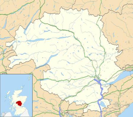 Killiecrankie Location within Perth and Kinross | |
| OS grid reference | NN913628 |
| Civil parish | |
| Council area | |
| Country | Scotland |
| Sovereign state | United Kingdom |
| Police | Scotland |
| Fire | Scottish |
| Ambulance | Scottish |
| UK Parliament | |
| Scottish Parliament | |
History
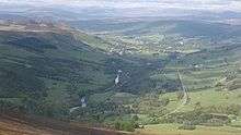
In 1689, during the Jacobite Rebellion, the Battle of Killiecrankie was fought on the northern edge of the village. The Highland charge of the Jacobites took the government forces under General Hugh MacKay by surprise and completely overwhelmed them in only 10 minutes. Donald MacBean, one of William II of Scotland's supporters, having lost the contest, is said to have cleared the pass, from one bank to the other, at "The Soldier's Leap". One of the most famous leaders of the rebellion John Graham of Claverhouse, Viscount Dundee was killed in the battle. A Memorial Field to the fallen soldiers lies within the grounds of the category B listed Urrard House.[2] An eponymous folk song, Braes o' Killiecrankie, commemorates the battle. A 1966 recording by The Corries was a pioneering use of the music video.
According to official records, the last wolf in Great Britain was killed near Killiecrankie in 1680.[3]
The story of the Soldier's Leap at Killiecrankie is told in the book 'Blood Beneath Ben Nevis' by Mark Bridgeman, published in 2020.
Television
Mary Ann Kennedy was the presenter of a BBC Four television series The Highland Sessions, which was filmed in Killiecrankie. Many notable musicians and singers from Ireland and Scotland performed in the sessions.[4]
References
- "Braemar and Blair Atholl", Ordnance Survey Landranger Map (C2 ed.), 2008, ISBN 0-319-23119-4
- "Urrard House". Historic Scotland. Retrieved 24 July 2013.
- Shoberl, Frederic (1834). Natural History of Quadrupeds. J. Harris.
- "The Highland Sessions". All Celtic Music. Retrieved 17 December 2010.
External links
| Wikimedia Commons has media related to Killiecrankie. |
- Chisholm, Hugh, ed. (1911). . Encyclopædia Britannica. 15 (11th ed.). Cambridge University Press. p. 795.