Katunguru, Uganda
Katunguru, is a small town in Rubirizi District, Ankole sub-region, in the Western Region of Uganda.
Katunguru | |
|---|---|
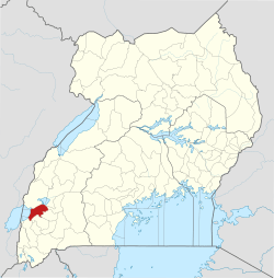
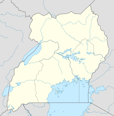 Katunguru Location in Uganda | |
| Coordinates: 00°08′49″S 30°03′46″E | |
| Country | |
| Region | Western Region of Uganda |
| Sub-Region | Ankole sub-region |
| District | Rubirizi District |
| Elevation | 4,300 ft (1,300 m) |
Location
Katunguru is just south of the equator, on the Kikorongo–Ishaka Road. The town is approximately 19 kilometres (12 mi), by road, north of Rubirizi, the location of the district headquarters.[1] This is on the southern banks of the Kazinga Channel, which links Lake George with Lake Edward, and forms the border between Kasese District to the north and Rubirizi District to the south. Katunguru lies within the boundaries of Queen Elizabeth National Park, about 41 kilometres (25 mi), by road, south of Kasese, the nearest large town.[2] The coordinates of Katunguru, Uganda are:0°08'49.0"S, 30°03'46.0"E (Latitude:-0.146956; Longitude:30.062770).[3]
Points of interest
The following points of interest are found within the town limits or close to its edges:
- offices of Katunguru Town Council
- headquarters of Katunguru Sub-county
- Katunguru central market
- Katunguru Senior Secondary School[4]
References
- GFC (21 May 2016). "Distance between Rubirizi, Western Region, Uganda and Katunguru, Western Region, Uganda". Globefeed.com (GFC). Retrieved 21 May 2016.
- GFC (21 May 2016). "Distance between Kasese, Western Region, Uganda and Katunguru, Western Region, Uganda". Globefeed.com (GFC). Retrieved 21 May 2016.
- Google (26 July 2015). "Location of Katunguru, Uganda at Google Maps" (Map). Google Maps. Google. Retrieved 26 July 2015.
- Wetaka, Ahamed (18 October 2012). "Katunguru Sub County Gets First Secondary School". Uganda Radio Network. Retrieved 8 June 2014.
External links
Capital: Rubirizi | ||
| Counties and sub-counties |
|  |
| Towns and villages | ||
| Geography |
| |
| Economy | ||
| Transport | ||
| Notable landmarks |
| |
| Energy | ||
| Notable people | ||