Kamma Mountains
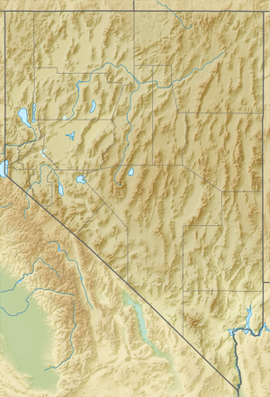
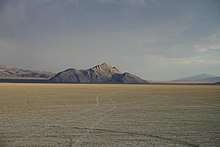
The Kamma Mountains are a mountain range in Pershing County and Humboldt County, Nevada.[1] The ghost town and railroad siding at Sulphur, Nevada is on the west side of the Kamma Mountains at the eastern edge of the Black Rock Desert playa.
| Kamma Mountains | |
|---|---|
| Highest point | |
| Elevation | 1,892 m (6,207 ft) |
| Geography | |
| Country | United States |
| State | Nevada |
| Region | Black Rock Desert |
| District | Pershing County / Humboldt County |
| Range coordinates | 40°46′14.646″N 118°39′53.578″W |
| Topo map | USGS Sulphur |
The Kamma Mountains are the site of Nevada's Sulphur Mining District.[2] Allied Nevada Gold Corporation operates the Hycroft Gold Mine, a strip mine in the Kamma Mountains. Allied Nevada re-opened the mine in 2008 after acquiring it from Vista Gold Corporation.[3][4]
Jungo Road (State Route 49) connects east through the Kamma Mountains to Winnemucca and south to Gerlach via Sulphur.
References
- "Kamma Mountains". Geographic Names Information System. United States Geological Survey. Retrieved 2009-05-04.
- "Sulphur Mining District". Geographic Names Information System. United States Geological Survey.
- "Technical Report – Vista Gold Corp: Hycroft Mine, Winnemucca, Nevada, USA" (PDF). Vista Gold Corporation. 2006-01-25. Archived from the original (PDF) on 2008-03-09. Retrieved 2008-04-26.
- Allied Nevada Gold Corporation (2009-05-15). "Hycroft Mine Technical Report" (PDF). Archived from the original (PDF) on 2010-09-17. Retrieved 2010-01-16.
External links
- Kamma Mountains at mountainzone.com
This article is issued from Wikipedia. The text is licensed under Creative Commons - Attribution - Sharealike. Additional terms may apply for the media files.