Kadalundi River
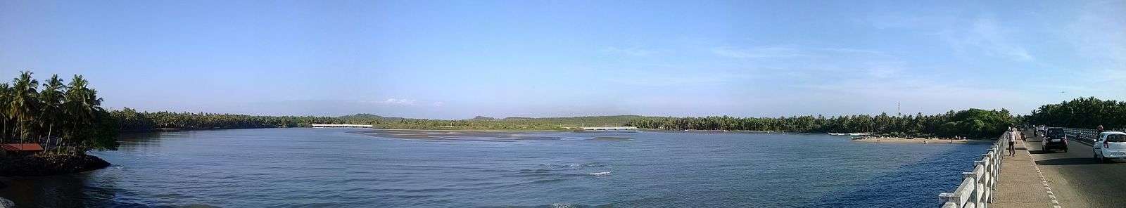
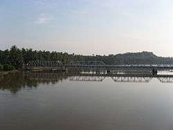
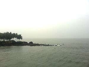
Kadalundi River (Kadalundipuzha) is one of the four most important rivers flowing through Malappuram district in the Indian state of Kerala. The other three are the Chaliyar, the Bharathappuzha and the Tirur River.[1] This rain-fed river is 130 kilometres (81 mi) long and is one of the most important rivers in the district.[2] It is formed by the confluence of the Olippuzha River and the Veliyar River. The Kadalundi originates from the Western Ghats at the western border of the Silent Valley and flows through the district of Malappuram. It has two main tributaries namely Olipuzha and Veliyar. The Kadalundi River drains an area of 1274 km² and has a length of 120 km.[3] The Kadalundi Bird Sanctuary spreads over a cluster of islands where the Kadalundipuzha River flows into the Arabian Sea. There are over a hundred species of native birds and around 60 species of migratory birds that come here in large numbers annually.[4]
| Kadalundi കടലുണ്ടി നദി | |
|---|---|
 | |
| Location | |
| Country | India |
| State | Kerala |
| Physical characteristics | |
| Source | Cherakomban Mala |
| • location | Kerala, India |
| • coordinates | 11°08′N 76°28′E |
| • elevation | 1,160 m (3,810 ft) |
| Mouth | Arabian Sea |
• location | Kerala, India |
• coordinates | 11°07′N 75°49′E |
• elevation | 0 m (0 ft) |
| Length | 130 km (81 mi) |
| Basin size | 1,122 km2 (433 sq mi) |
| Discharge | |
| • location | mouth |
| • average | 36 m3/s (1,300 cu ft/s) |
See also
References
- "Malappuram District Rivers". Malappuram.net. Retrieved 13 October 2006.
- "Kerala Government - General Features". Official Website of Kerala Government. Archived from the original on 2 November 2006. Retrieved 13 October 2006.
- NIC Malappuram website
- "Wild Life Tourism in Kerala". keralaeverything.com. Retrieved 13 October 2006.
External links
| Wikimedia Commons has media related to Kadalundi River. |
- "About the Rivers of Kerala". All Kerala River Protection Council. Retrieved 10 September 2009.