Jimani Field
Jimani Airport (ICAO: MDJI) was an airstrip serving Jimani, Independencia, Dominican Republic.
Jimani Airport | |||||||||||
|---|---|---|---|---|---|---|---|---|---|---|---|
| Summary | |||||||||||
| Airport type | Closed | ||||||||||
| Serves | Jimani, Dominican Republic | ||||||||||
| Elevation AMSL | 198 ft / 60 m | ||||||||||
| Coordinates | 18°29′34″N 71°52′11″W | ||||||||||
| Map | |||||||||||
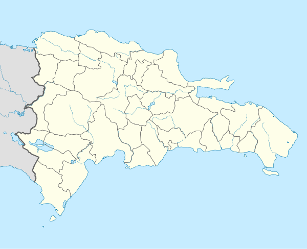 MDJI Location of the airport in the Dominican Republic | |||||||||||
| Runways | |||||||||||
| |||||||||||
Google Earth Historical Imagery (2/11/2002) shows an 870 metres (2,850 ft) sand runway paralleling Highway 46 near the southeastern shore of Lake Azuéi. The (1/12/2010) image shows the lake had risen and inundated the runway. Current (10/24/2016) imagery shows the lake has risen further and the runway is completely under water.
See also


- Transport in the Dominican Republic
- List of airports in the Dominican Republic
References
- Airport information for Jimani Airport at Great Circle Mapper.
- "Jimani Airport". Google Maps. Google. Retrieved 18 May 2018.
This article is issued from Wikipedia. The text is licensed under Creative Commons - Attribution - Sharealike. Additional terms may apply for the media files.