Independencia Province
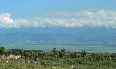
Independencia (Spanish pronunciation: [indepenˈdensja]) is a province of the Dominican Republic, located in the west, on the border with Haiti. Its capital is Jimani. The province was created in 1948 but was made official in 1950. Before its creation, it was part of the Baoruco Province. The name was given in remembrance of the National Independence of February 27 1844.
Independencia | |
|---|---|
 Coat of arms | |
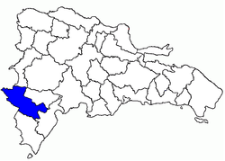 Location of Independencia Province | |
| Country | |
| Province since | 1948 |
| Government | |
| • Type | Subdivisions |
| • Body | 6 municipalities 6 municipal districts |
| • Congresspersons | 1 Senator 2 Deputies |
| Area | |
| • Total | 2,006.44 km2 (774.69 sq mi) |
| Population (2014) | |
| • Total | 74,583 |
| • Density | 37/km2 (96/sq mi) |
| Demonym(s) | Independenciano/a |
| Time zone | UTC-4 (EST) |
| Area code | 1-809 1-829 1-849 |
| ISO 3166-2 | DO-10 |
| Postal Code | 83000 |
History
The province Independencia was founded in the lands that in previous times belonged to a Cacique called Ximani who was related to the cacicazgo of Xaragua. Little is known of Ximani as the ties with between the natives of Ximani and the Spanish were practically non-existent. The law that created this province, December 29, 1948, had originally assigned the name of "Provincia de Jimaní" to the province. The name was then changed January 28, 1949 to "Provincia Nueva Era". The name was then finally changed to the present one, "Independence", on May 13, 1949.
Municipalities and municipal districts
The province as of June 20, 2006 is divided into the following municipalities (municipios) and municipal districts (distritos municipales - D.M.) within the latter:[1]
- Cristóbal
- Batey 8 (D.M.)
- Duvergé
- Vengan a Ver (D.M.)
- Puerto Escondido (D.M.)
- Jimaní
- Boca de Cachón (D.M.)
- El Limón (D.M.)
- La Descubierta
- Mella
- La Colonia (D.M.)
- Postrer Río
- Guayabal (D.M.)
The following is a sortable table of the municipalities and municipal districts, with population figures as of the 2012 census. Urban population are those living in the seats (cabeceras, literally "heads") of municipalities or of municipal districts. Rural population are those living in the districts (Secciones, literally "sections") and neighborhoods (Parajes, literally "places") outside of them.[2]
For comparison with the municipalities and municipal districts of other provinces see the list of municipalities and municipal districts of the Dominican Republic.
| Name | Total population | Urban population | Rural population |
|---|---|---|---|
| Cristóbal | 7,952 | 2,967 | 4,985 |
| Duvergé | 25,971 | 15,452 | 10,519 |
| Jimaní | 19,263 | 11,742 | 7,521 |
| La Descubierta | 10,022 | 5,767 | 4,255 |
| Mella | 5,052 | 4,131 | 921 |
| Postrer Río | 6,323 | 2,338 | 3,985 |
| Independencia province | 74,583 | 42,397 | 32,186 |
See also
References
- Oficina Nacional de Estadistica, Departamento de Cartografia, Division de Limites y Linderos. "Listado de Codigos de Provincias, Municipio y Distritos Municipales, Actualizada a Junio 20 del 2006" (in Spanish). Archived from the original on 2007-03-14. Retrieved 2007-01-24.CS1 maint: multiple names: authors list (link)
- Consejo Nacional de Población y Familia. "Censos y Proyecciones de la Población Dominicana por Regiones, Provincias, Municipios y Distritos Municipales, 2012" (PDF) (in Spanish). Retrieved 2012-01-11.
External links
- (in Spanish) Oficina Nacional de Estadística, Maps with administrative division of the provinces of the Dominican Republic, downloadable in PDF format