Enriquillo Field
Juancho Enriquillo Airport (ICAO: MDHN) is an agricultural airstrip 4 kilometres (2.5 mi) southwest of Enriquillo, a Caribbean coastal town in the Barahona Province of the Dominican Republic.
Juancho Enriquillo Airport | |||||||||||
|---|---|---|---|---|---|---|---|---|---|---|---|
| Summary | |||||||||||
| Airport type | Public | ||||||||||
| Serves | Enriquillo, Dominican Republic | ||||||||||
| Elevation AMSL | 29 ft / 9 m | ||||||||||
| Coordinates | 17°52′20″N 71°16′10″W | ||||||||||
| Map | |||||||||||
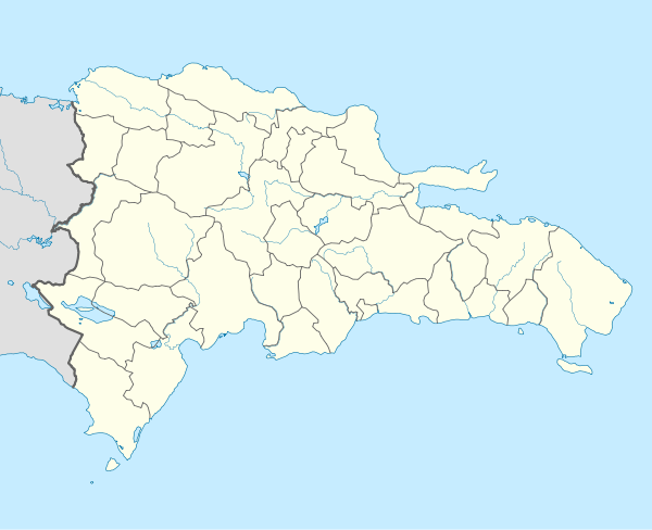 MDHN Location of the airport in the Dominican Republic | |||||||||||
| Runways | |||||||||||
| |||||||||||
The Cabo Rojo VOR-DME (Ident: DCR) is located 22.0 nautical miles (40.7 km) west of the airstrip. The Baharona VOR-DME (Ident: BHO) is located 24.3 nautical miles (45.0 km) north-northeast of the runway.[3][4]
Caution: There are wind turbines midfield 70 metres (230 ft) either side of centerline. Another wind turbine is less than 500 metres (1,600 ft) off the west end of the runway.
See also

- Transport in Dominican Republic
- List of airports in Dominican Republic
References
- "AIP-Republica Dominicana: AD 1.3-11" (PDF, 129 KB). AIS-Republica Dominicana. 17 January 2008.
- Airport information for Juancho Enriquillo Airport at Great Circle Mapper.
- Cabo Rojo VOR
- Baharona VOR
External links
- OpenStreetMap - Juancho Enriquillo Airport
- Juancho Enriquillo Airport
- Accident history for Enriquillo Airport at Aviation Safety Network
This article is issued from Wikipedia. The text is licensed under Creative Commons - Attribution - Sharealike. Additional terms may apply for the media files.